Pyramid Hill Area, Pyramid Hill Postcode(3575) & Map in Pyramid Hill, Bendigo, VIC
Pyramid Hill Area, Pyramid Hill Postcode(3575) & Map in Pyramid Hill, Bendigo, VIC, AU, Postcode: 3575
Pyramid Hill, Loddon, Loddon - Elmore, Bendigo, Victoria, Australia, 3575
Pyramid Hill Postcode
Area Name
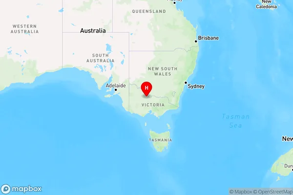
Pyramid HillPyramid Hill Suburb Area Map (Polygon)

Pyramid Hill Introduction
Pyramid Hill is a significant landmark in Bendigo, Victoria, Australia. It is a volcanic cone that was formed during the Pleistocene Epoch and is part of the Bendigo Volcanic Complex. The hill is approximately 764 meters (2,509 feet) tall and offers panoramic views of the surrounding area. It is a popular destination for hiking, picnicking, and nature photography. The hill is also home to a variety of plant and animal species, including the endangered pyramid orchid.State Name
City or Big Region
District or Regional Area
Suburb Name
Pyramid Hill Region Map

Country
Main Region in AU
R3Coordinates
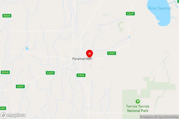
-36.0556784,144.1341779 (latitude/longitude)Pyramid Hill Area Map (Street)

Longitude
144.159028Latitude
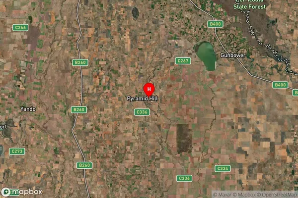
-36.055725Pyramid Hill Suburb Map (Satellite)

Distances
The distance from Pyramid Hill, Bendigo, VIC to AU Greater Capital CitiesSA1 Code 2011
20203103317SA1 Code 2016
20203103317SA2 Code
202031033SA3 Code
20203SA4 Code
202RA 2011
3RA 2016
3MMM 2015
5MMM 2019
5Charge Zone
V2LGA Region
LoddonLGA Code
23940Electorate
Mallee