Mincha Area, Mincha Postcode(3575) & Map in Mincha, Bendigo, VIC
Mincha Area, Mincha Postcode(3575) & Map in Mincha, Bendigo, VIC, AU, Postcode: 3575
Mincha, Loddon, Loddon - Elmore, Bendigo, Victoria, Australia, 3575
Mincha Postcode
Area Name
MinchaMincha Suburb Area Map (Polygon)

Mincha Introduction
Mincha is a small rural locality in the Shire of Buloke, Victoria, Australia. It is located in the Mount Alexander Shire local government area. The post office opened as Mincha on 1 November 1892 and was closed on 1 March 1974. The name Mincha is derived from an Aboriginal word meaning "by the waterhole".State Name
City or Big Region
District or Regional Area
Suburb Name
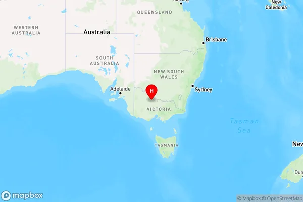
Mincha Region Map

Country
Main Region in AU
R3Coordinates
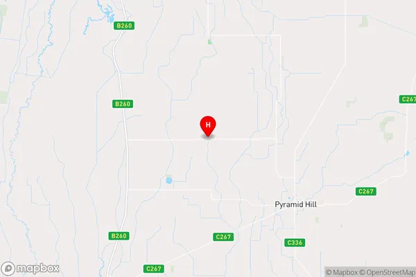
-36.0015099,144.0286331 (latitude/longitude)Mincha Area Map (Street)

Longitude
144.159028Latitude
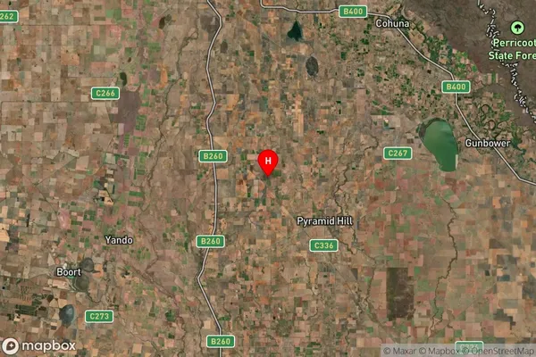
-36.055725Mincha Suburb Map (Satellite)

Distances
The distance from Mincha, Bendigo, VIC to AU Greater Capital CitiesSA1 Code 2011
20203103317SA1 Code 2016
20203103317SA2 Code
202031033SA3 Code
20203SA4 Code
202RA 2011
3RA 2016
3MMM 2015
5MMM 2019
5Charge Zone
V2LGA Region
LoddonLGA Code
23940Electorate
Mallee