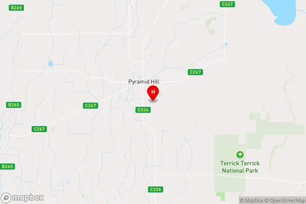
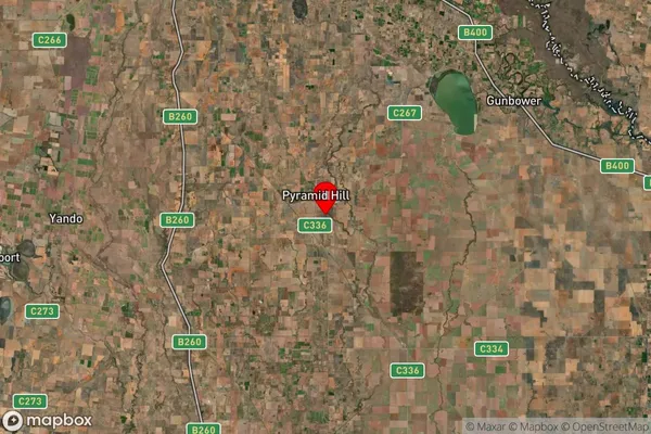
Bald Rock Area, Bald Rock Postcode(3575) & Map in Bald Rock, Bendigo, VIC
Bald Rock Area, Bald Rock Postcode(3575) & Map in Bald Rock, Bendigo, VIC, AU, Postcode: 3575
Bald Rock, Loddon, Loddon - Elmore, Bendigo, Victoria, Australia, 3575
Bald Rock Postcode
Area Name
Bald RockBald Rock Suburb Area Map (Polygon)

Bald Rock Introduction
Bald Rock is a prominent landmark located in Bendigo, Victoria, Australia. It is a large granite outcrop that stands approximately 183 meters above sea level and offers breathtaking views of the surrounding area. The rock was named after the bald heads of the indigenous people who once inhabited the area. It is a popular destination for hiking, picnicking, and nature photography and is a testament to the natural beauty of the region.State Name
City or Big Region
District or Regional Area
Suburb Name
Bald Rock Region Map

Country
Main Region in AU
R3Coordinates
-36.0765,144.128 (latitude/longitude)Bald Rock Area Map (Street)

Longitude
144.159028Latitude
-36.055725Bald Rock Suburb Map (Satellite)

Distances
The distance from Bald Rock, Bendigo, VIC to AU Greater Capital CitiesSA1 Code 2011
20203103317SA1 Code 2016
20203103317SA2 Code
202031033SA3 Code
20203SA4 Code
202RA 2011
3RA 2016
3MMM 2015
5MMM 2019
5Charge Zone
V2LGA Region
LoddonLGA Code
23940Electorate
Mallee