Dunkirk Area, Dunkirk Postcode(3630) & Map in Dunkirk, Shepparton, VIC
Dunkirk Area, Dunkirk Postcode(3630) & Map in Dunkirk, Shepparton, VIC, AU, Postcode: 3630
Dunkirk, Shepparton - North, Shepparton, Shepparton, Victoria, Australia, 3630
Dunkirk Postcode
Area Name
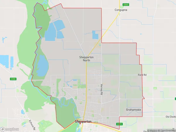
DunkirkDunkirk Suburb Area Map (Polygon)

Dunkirk Introduction
Shepparton is a city in north-central Victoria, Australia. It is located on the Murray River, 145 km north-west of Melbourne, the state capital. The city had a population of 30,914 in 2016. Shepparton is known for its agriculture, particularly its production of cotton, wheat, and sheep. The city has a number of parks and recreational facilities, including the Shepparton Art Gallery, the Shepparton Sports Complex, and the Riverside Reserve.State Name
City or Big Region
District or Regional Area
Suburb Name
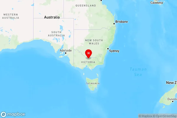
Dunkirk Region Map

Country
Main Region in AU
R3Coordinates
-36.3695676,145.4089502 (latitude/longitude)Dunkirk Area Map (Street)
Not available for nowLongitude
145.403176Latitude
-36.380853Dunkirk Elevation
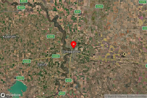
about 115.00 meters height above sea level (Altitude)Dunkirk Suburb Map (Satellite)

Distances
The distance from Dunkirk, Shepparton, VIC to AU Greater Capital CitiesSA1 Code 2011
21603141632SA1 Code 2016
21603141632SA2 Code
216031416SA3 Code
21603SA4 Code
216RA 2011
2RA 2016
2MMM 2015
3MMM 2019
3Charge Zone
V2LGA Region
Greater SheppartonLGA Code
22830Electorate
Nicholls