Appin Park Area, Appin Park Postcode(3677) & Map in Appin Park, Hume, VIC
Appin Park Area, Appin Park Postcode(3677) & Map in Appin Park, Hume, VIC, AU, Postcode: 3677
Appin Park, Wangaratta, Wangaratta - Benalla, Hume, Victoria, Australia, 3677
Appin Park Postcode
Area Name
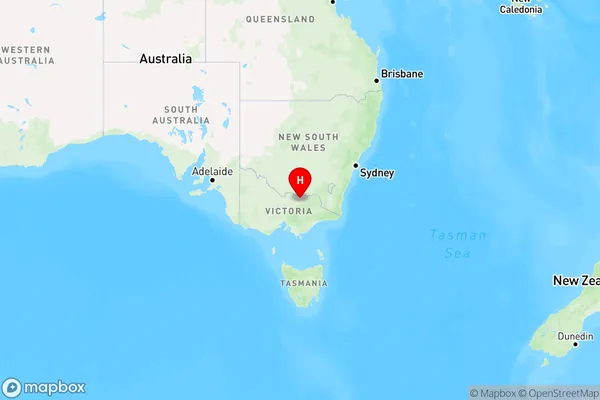
Appin ParkAppin Park Suburb Area Map (Polygon)

Appin Park Introduction
Appin Park is a historic homestead located in Hume, Victoria, Australia. It was built in the 1840s by John Batman and is considered one of the earliest examples of a Victorian homestead. The property is now a popular tourist attraction and includes a range of historic buildings, gardens, and wildlife.State Name
City or Big Region
District or Regional Area
Suburb Name
Appin Park Region Map

Country
Main Region in AU
R3Coordinates
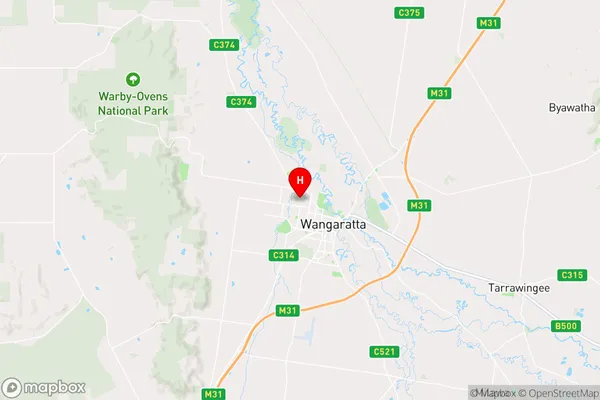
-36.3428863,146.3002551 (latitude/longitude)Appin Park Area Map (Street)

Longitude
146.330564Latitude
-36.358017Appin Park Elevation
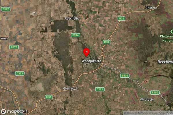
about 153.94 meters height above sea level (Altitude)Appin Park Suburb Map (Satellite)

Distances
The distance from Appin Park, Hume, VIC to AU Greater Capital CitiesSA1 Code 2011
20402106617SA1 Code 2016
20402106617SA2 Code
204021066SA3 Code
20402SA4 Code
204RA 2011
2RA 2016
2MMM 2015
3MMM 2019
3Charge Zone
V2LGA Region
WangarattaLGA Code
26700Electorate
Indi