Upotipotpon Area, Upotipotpon Postcode(3673) & Map in Upotipotpon, Hume, VIC
Upotipotpon Area, Upotipotpon Postcode(3673) & Map in Upotipotpon, Hume, VIC, AU, Postcode: 3673
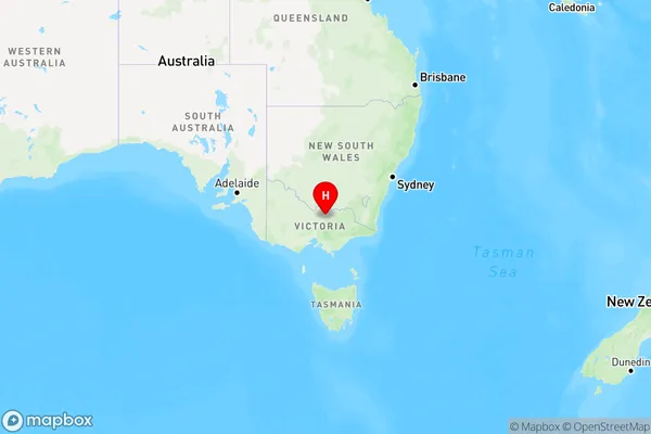
Upotipotpon, Euroa, Upper Goulburn Valley, Hume, Victoria, Australia, 3673
Upotipotpon Postcode
Area Name
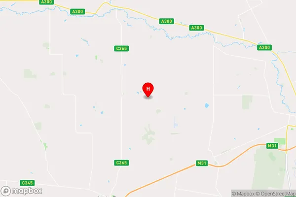
UpotipotponUpotipotpon Suburb Area Map (Polygon)

Upotipotpon Introduction
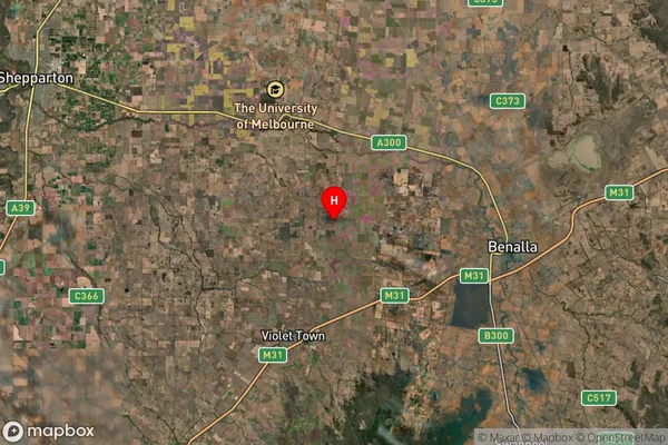
Upotipotpon is a small rural town in the Hume region of Victoria, Australia. It is located in the Shire of Buloke, approximately 165 kilometers north-east of Melbourne. The town is surrounded by farmland and has a population of around 300 people. It is known for its historic railway station and the Upotipotpon Creek, which flows through the town.State Name
City or Big Region
District or Regional Area
Suburb Name
Upotipotpon Region Map
Country
Main Region in AU
R3Coordinates
-36.5248655,145.7682613 (latitude/longitude)Upotipotpon Area Map (Street)
Longitude
146.062514Latitude
-36.669929Upotipotpon Suburb Map (Satellite)
Distances
The distance from Upotipotpon, Hume, VIC to AU Greater Capital CitiesSA1 Code 2011
20401105512SA1 Code 2016
20401105512SA2 Code
204011055SA3 Code
20401SA4 Code
204RA 2011
2RA 2016
2MMM 2015
5MMM 2019
5Charge Zone
V2LGA Region
BenallaLGA Code
21010Electorate
Indi