Nalinga Area, Nalinga Postcode(3646) & Map in Nalinga, Hume, VIC
Nalinga Area, Nalinga Postcode(3646) & Map in Nalinga, Hume, VIC, AU, Postcode: 3646
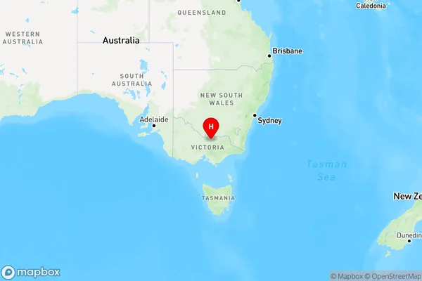
Nalinga, Euroa, Upper Goulburn Valley, Hume, Victoria, Australia, 3646
Nalinga Postcode
Area Name
NalingaNalinga Suburb Area Map (Polygon)

Nalinga Introduction
Nalinga is a suburb in the City of Hume, located in the state of Victoria, Australia. It is approximately 27 kilometers north-east of Melbourne's central business district and is part of the Greater Melbourne region. Nalinga is known for its peaceful atmosphere, scenic parks, and well-maintained homes. It has a population of around 10,000 people and is home to a variety of shops, cafes, and recreational facilities. The suburb also has a strong community spirit, with many local events and activities taking place throughout the year.State Name
City or Big Region
District or Regional Area
Suburb Name
Nalinga Region Map
Country
Main Region in AU
R3Coordinates
-36.4351273,145.7304041 (latitude/longitude)Nalinga Area Map (Street)

Longitude
145.704042Latitude
-36.247446Nalinga Elevation
about 127.74 meters height above sea level (Altitude)Nalinga Suburb Map (Satellite)

Distances
The distance from Nalinga, Hume, VIC to AU Greater Capital CitiesSA1 Code 2011
20401105512SA1 Code 2016
20401105512SA2 Code
204011055SA3 Code
20401SA4 Code
204RA 2011
2RA 2016
2MMM 2015
5MMM 2019
5Charge Zone
V2LGA Region
MoiraLGA Code
24900Electorate
Nicholls