Marungi Area, Marungi Postcode(3634) & Map in Marungi, Shepparton, VIC
Marungi Area, Marungi Postcode(3634) & Map in Marungi, Shepparton, VIC, AU, Postcode: 3634
Marungi, Numurkah, Moira, Shepparton, Victoria, Australia, 3634
Marungi Postcode
Area Name
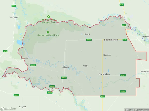
MarungiMarungi Suburb Area Map (Polygon)

Marungi Introduction
Shepparton is a city in north-central Victoria, Australia. It is located on the Murray River, 145 km north-east of Melbourne, and is the administrative center of the Goulburn Valley Shire. The city had a population of 31,414 in 2016. The name Shepparton is derived from the indigenous word'marungi,' which means 'by the river.' The city is known for its agriculture, with a large number of farms and wineries in the surrounding area. It is also home to a number of cultural institutions, including the Shepparton Art Museum and the Shepparton Performing Arts Center.State Name
City or Big Region
District or Regional Area
Suburb Name
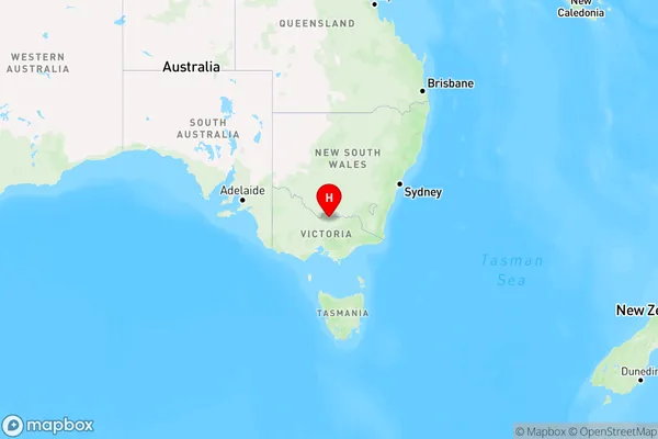
Marungi Region Map

Country
Main Region in AU
R3Coordinates
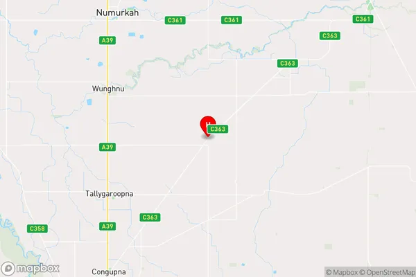
-36.193889,145.531389 (latitude/longitude)Marungi Area Map (Street)

Longitude
145.440315Latitude
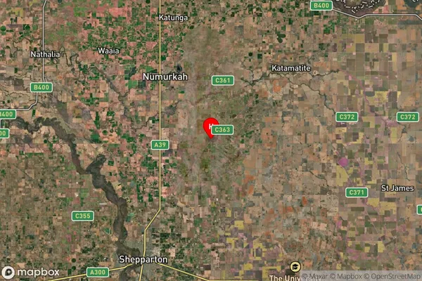
-36.224186Marungi Suburb Map (Satellite)

Distances
The distance from Marungi, Shepparton, VIC to AU Greater Capital CitiesSA1 Code 2011
21602141304SA1 Code 2016
21602141304SA2 Code
216021413SA3 Code
21602SA4 Code
216RA 2011
2RA 2016
2MMM 2015
5MMM 2019
5Charge Zone
V2LGA Region
Greater SheppartonLGA Code
22830Electorate
Nicholls