Mongans Bridge Area, Mongans Bridge Postcode(3691) & Map in Mongans Bridge, Hume, VIC
Mongans Bridge Area, Mongans Bridge Postcode(3691) & Map in Mongans Bridge, Hume, VIC, AU, Postcode: 3691
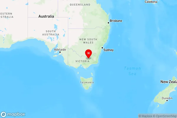
Mongans Bridge, Bright - Mount Beauty, Wodonga - Alpine, Hume, Victoria, Australia, 3691
Mongans Bridge Postcode
Area Name
Mongans BridgeMongans Bridge Suburb Area Map (Polygon)

Mongans Bridge Introduction
Mongans Bridge is a historic railway bridge located in Hume, Victoria, Australia. It was built in 1889 by the Victorian Railways and is a significant example of the engineering and construction skills of the time. The bridge spans the Murray River and is a vital link in the regional transportation network. It has been listed on the Victorian Heritage Register and is a popular tourist attraction.State Name
City or Big Region
District or Regional Area
Suburb Name
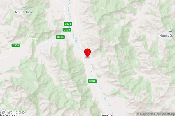
Mongans Bridge Region Map

Country
Main Region in AU
R3Coordinates
-36.5896586,147.1003269 (latitude/longitude)Mongans Bridge Area Map (Street)

Longitude
147.880991Latitude
-36.027154Mongans Bridge Elevation
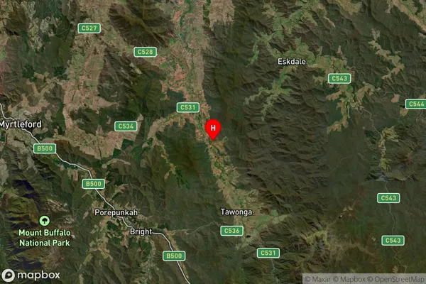
about 626.98 meters height above sea level (Altitude)Mongans Bridge Suburb Map (Satellite)

Distances
The distance from Mongans Bridge, Hume, VIC to AU Greater Capital CitiesSA1 Code 2011
20403106915SA1 Code 2016
20403106915SA2 Code
204031069SA3 Code
20403SA4 Code
204RA 2011
3RA 2016
3MMM 2015
5MMM 2019
5Charge Zone
V2LGA Region
TowongLGA Code
26670Electorate
Farrer