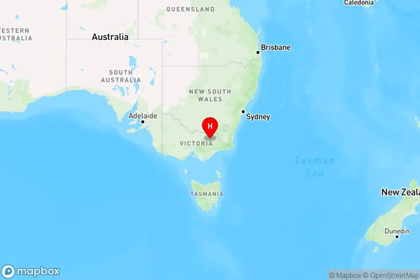
Freeburgh Area, Freeburgh Postcode(3741) & Map in Freeburgh, Hume, VIC
Freeburgh Area, Freeburgh Postcode(3741) & Map in Freeburgh, Hume, VIC, AU, Postcode: 3741
Freeburgh, Bright - Mount Beauty, Wodonga - Alpine, Hume, Victoria, Australia, 3741
Freeburgh Postcode
Area Name
FreeburghFreeburgh Suburb Area Map (Polygon)

Freeburgh Introduction
Freeburgh is a small township located in the Hume region of Victoria, Australia. It is situated in the Shire of Buloke, approximately 165 kilometers north-east of Melbourne. The town is named after the Freeburgh River, which flows through it. Freeburgh has a post office, a general store, a primary school, and a community hall. The town is surrounded by farmland and is known for its peaceful and quiet atmosphere.State Name
City or Big Region
District or Regional Area
Suburb Name
Freeburgh Region Map

Country
Main Region in AU
R3Coordinates
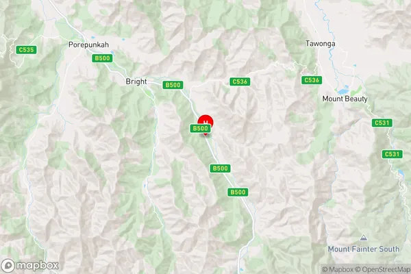
-36.7731846,147.0302412 (latitude/longitude)Freeburgh Area Map (Street)

Longitude
147.063163Latitude
-36.962316Freeburgh Elevation
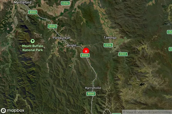
about 1050.41 meters height above sea level (Altitude)Freeburgh Suburb Map (Satellite)

Distances
The distance from Freeburgh, Hume, VIC to AU Greater Capital CitiesSA1 Code 2011
20403106926SA1 Code 2016
20403106926SA2 Code
204031069SA3 Code
20403SA4 Code
204RA 2011
3RA 2016
3MMM 2015
5MMM 2019
5Charge Zone
V2LGA Region
AlpineLGA Code
20110Electorate
Indi