Goorambat Area, Goorambat Postcode(3725) & Map in Goorambat, Hume, VIC
Goorambat Area, Goorambat Postcode(3725) & Map in Goorambat, Hume, VIC, AU, Postcode: 3725
Goorambat, Benalla Region, Wangaratta - Benalla, Hume, Victoria, Australia, 3725
Goorambat Postcode
Area Name
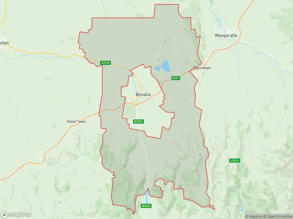
GoorambatGoorambat Suburb Area Map (Polygon)

Goorambat Introduction
Goorambat is a small township in the Hume region of Victoria, Australia. It is located in the Shire of Buloke, approximately 150 kilometers north-west of Melbourne. The town is surrounded by farmland and has a population of around 500 people. Goorambat has a primary school, a post office, a general store, and a community hall. The town is known for its historic railway station, which was built in the 1880s. The station was closed in the 1980s, but the track has been preserved and is now used as a walking and cycling trail.State Name
City or Big Region
District or Regional Area
Suburb Name
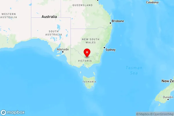
Goorambat Region Map

Country
Main Region in AU
R3Coordinates
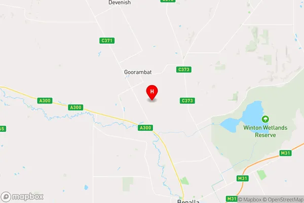
-36.4391452,145.9393385 (latitude/longitude)Goorambat Area Map (Street)

Longitude
145.937326Latitude
-36.414359Goorambat Elevation
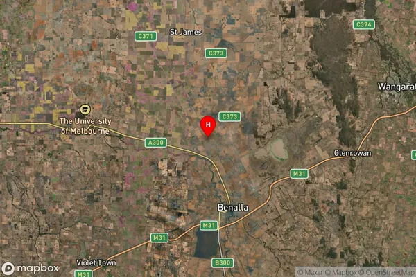
about 180.43 meters height above sea level (Altitude)Goorambat Suburb Map (Satellite)

Distances
The distance from Goorambat, Hume, VIC to AU Greater Capital CitiesSA1 Code 2011
20402106401SA1 Code 2016
20402106401SA2 Code
204021064SA3 Code
20402SA4 Code
204RA 2011
2RA 2016
2MMM 2015
5MMM 2019
5Charge Zone
V2LGA Region
BenallaLGA Code
21010Electorate
Nicholls