Huntingdale Area, Huntingdale Postcode(3166) & Map in Huntingdale, Melbourne - South East, VIC
Huntingdale Area, Huntingdale Postcode(3166) & Map in Huntingdale, Melbourne - South East, VIC, AU, Postcode: 3166
Huntingdale, Oakleigh - Huntingdale, Monash, Melbourne - South East, Victoria, Australia, 3166
Huntingdale Postcode
Area Name
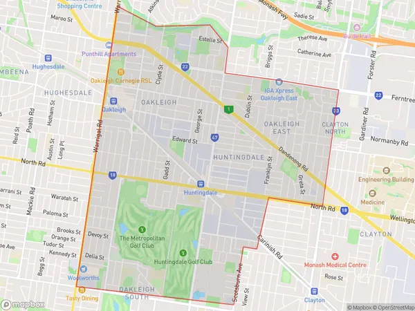
HuntingdaleHuntingdale Suburb Area Map (Polygon)

Huntingdale Introduction
Huntingdale is a suburb in Melbourne's south-east, 10 kilometers from the CBD. It has a variety of shops, restaurants, and parks and is well-connected to public transportation. The suburb has a large Greek community and is known for its vibrant restaurant and cafe scene. Huntingdale also has several large shopping centers, including Westfield Doncaster and Eastland.State Name
City or Big Region
District or Regional Area
Suburb Name
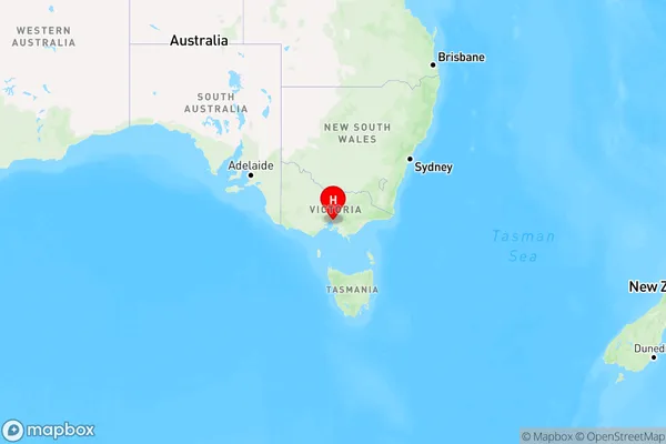
Huntingdale Region Map

Country
Main Region in AU
R1Coordinates
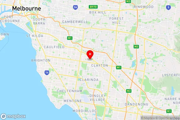
-37.9074344,145.1086176 (latitude/longitude)Huntingdale Area Map (Street)

Longitude
145.089719Latitude
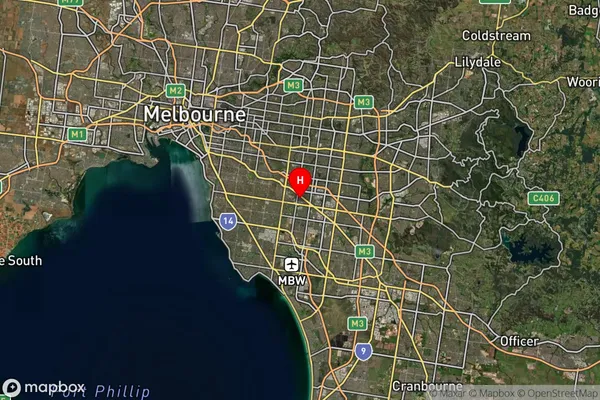
-37.902805Huntingdale Suburb Map (Satellite)

Distances
The distance from Huntingdale, Melbourne - South East, VIC to AU Greater Capital CitiesSA1 Code 2011
21205132618SA1 Code 2016
21205132618SA2 Code
212051326SA3 Code
21205SA4 Code
212RA 2011
1RA 2016
1MMM 2015
1MMM 2019
1Charge Zone
V1LGA Region
Glen EiraLGA Code
22310Electorate
Hotham