Lysterfield South Area, Lysterfield South Postcode(3156) & Map in Lysterfield South, Melbourne - South East, VIC
Lysterfield South Area, Lysterfield South Postcode(3156) & Map in Lysterfield South, Melbourne - South East, VIC, AU, Postcode: 3156
Lysterfield South, Endeavour Hills - North, Casey - North, Melbourne - South East, Victoria, Australia, 3156
Lysterfield South Postcode
Area Name
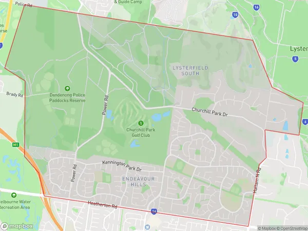
Lysterfield SouthLysterfield South Suburb Area Map (Polygon)

Lysterfield South Introduction
Lysterfield South is a suburb in Melbourne's south-east, 12 km south-east of Melbourne's central business district. It is represented by the Legislative Assembly of Victoria as the Legislative Assembly of Victoria's Electoral district of Boroondara. The suburb was named after Sir Richard Lyster, who was the Governor of Victoria from 1851 to 1855.State Name
City or Big Region
District or Regional Area
Suburb Name
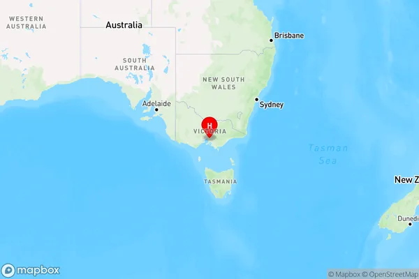
Lysterfield South Region Map

Country
Main Region in AU
R1Coordinates
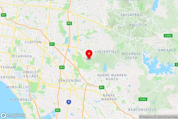
-37.949,145.26 (latitude/longitude)Lysterfield South Area Map (Street)

Longitude
145.292895Latitude
-37.917932Lysterfield South Suburb Map (Satellite)
Not available for nowDistances
The distance from Lysterfield South, Melbourne - South East, VIC to AU Greater Capital CitiesSA1 Code 2011
21202129607SA1 Code 2016
21202145303SA2 Code
212021453SA3 Code
21202SA4 Code
212RA 2011
1RA 2016
1MMM 2015
1MMM 2019
1Charge Zone
V1LGA Region
KnoxLGA Code
23670Electorate
Casey