Wheelers Hill Area, Wheelers Hill Postcode(3150) & Map in Wheelers Hill, Melbourne - South East, VIC
Wheelers Hill Area, Wheelers Hill Postcode(3150) & Map in Wheelers Hill, Melbourne - South East, VIC, AU, Postcode: 3150
Wheelers Hill, Wheelers Hill, Monash, Melbourne - South East, Victoria, Australia, 3150
Wheelers Hill Postcode
Area Name
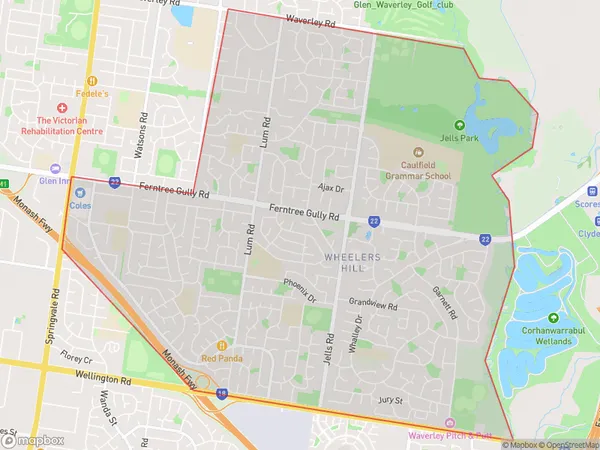
Wheelers HillWheelers Hill Suburb Area Map (Polygon)

Wheelers Hill Introduction
Wheelers Hill is a suburb in Melbourne's south-east, 11 kilometers from the CBD. It has a variety of shops, restaurants, and parks and is known for its high-quality housing and peaceful atmosphere. The suburb has a large Chinese community and is home to the Wheelers Hill Shopping Centre and the Monash University Peninsula Campus.State Name
City or Big Region
District or Regional Area
Suburb Name
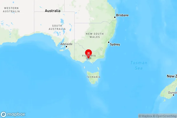
Wheelers Hill Region Map

Country
Main Region in AU
R1Coordinates
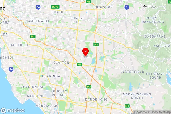
-37.9067871,145.1890123 (latitude/longitude)Wheelers Hill Area Map (Street)

Longitude
145.170841Latitude
-37.876968Wheelers Hill Elevation
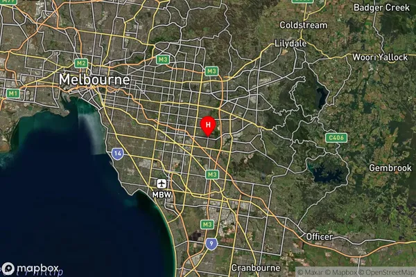
about 101.37 meters height above sea level (Altitude)Wheelers Hill Suburb Map (Satellite)

Distances
The distance from Wheelers Hill, Melbourne - South East, VIC to AU Greater Capital CitiesSA1 Code 2011
21205132703SA1 Code 2016
21205132703SA2 Code
212051327SA3 Code
21205SA4 Code
212RA 2011
1RA 2016
1MMM 2015
1MMM 2019
1Charge Zone
V1LGA Region
MonashLGA Code
24970Electorate
Hotham