Southern Suburbs Mc Area, Southern Suburbs Mc Postcode(1419) & Map in Southern Suburbs Mc, Sydney - Sutherland, NSW
Southern Suburbs Mc Area, Southern Suburbs Mc Postcode(1419) & Map in Southern Suburbs Mc, Sydney - Sutherland, NSW, AU, Postcode: 1419
Southern Suburbs Mc, Royal National Park, Sutherland - Menai - Heathcote, Sydney - Sutherland, New South Wales, Australia, 1419
Southern Suburbs Mc Postcode
Area Name
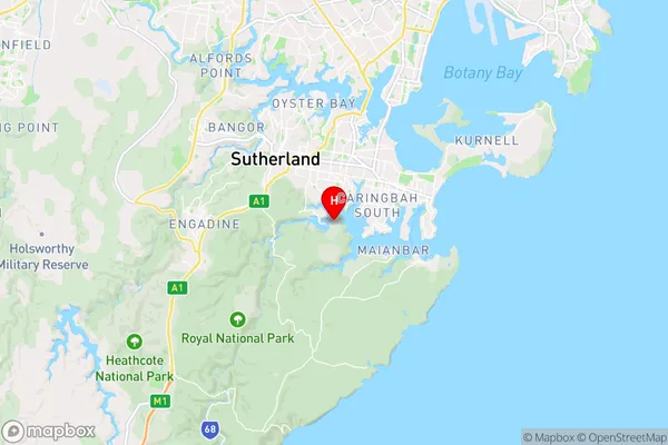
Southern Suburbs McSouthern Suburbs Mc Suburb Area Map (Polygon)

Southern Suburbs Mc Introduction
Southern Suburbs Mc is a medical facility located in Sutherland, New South Wales, Australia. It provides a range of healthcare services, including medical consultations, surgeries, and emergency care. The hospital is part of the Southern Health District and has a team of experienced medical professionals who are dedicated to providing quality care to their patients.State Name
City or Big Region
District or Regional Area
Suburb Name
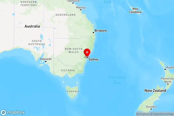
Southern Suburbs Mc Region Map

Country
Main Region in AU
R1Coordinates
-34.0641,151.094 (latitude/longitude)Southern Suburbs Mc Area Map (Street)

Longitude
151.094Latitude
-34.0641Southern Suburbs Mc Elevation
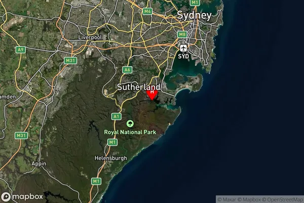
about 60.03 meters height above sea level (Altitude)Southern Suburbs Mc Suburb Map (Satellite)

Distances
The distance from Southern Suburbs Mc, Sydney - Sutherland, NSW to AU Greater Capital CitiesSA1 Code 2011
12802153701SA1 Code 2016
12802153701SA2 Code
128021537SA3 Code
12802SA4 Code
128RA 2011
2RA 2016
2MMM 2015
2MMM 2019
2Charge Zone
N1LGA Region
Sutherland ShireLGA Code
17150Electorate
Banks