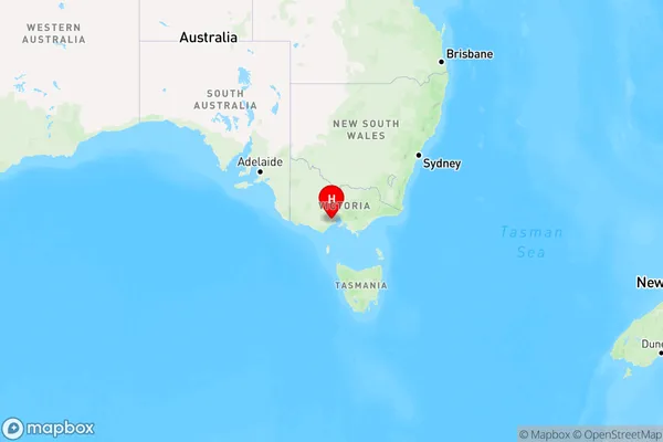
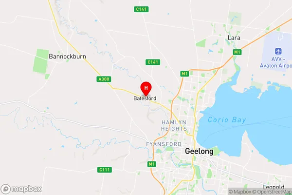
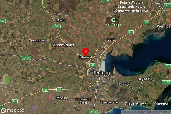
Batesford Area, Batesford Postcode(3221) & Map in Batesford, Geelong, VIC
Batesford Area, Batesford Postcode(3221) & Map in Batesford, Geelong, VIC, AU, Postcode: 3221
Batesford, North Geelong - Bell Park, Geelong, Geelong, Victoria, Australia, 3221
Batesford Postcode
Area Name
BatesfordBatesford Suburb Area Map (Polygon)

Batesford Introduction
Batesford is a suburb of Geelong, Victoria, Australia. It is located 7 km from the central business district of Geelong. Batesford is known for its historic buildings, including the Batesford railway station and the Old Post Office. It is also home to the Batesford Pumping Station, which is a significant landmark in the area. The suburb has a population of around 4,000 people and is surrounded by beautiful parks and gardens.State Name
City or Big Region
District or Regional Area
Suburb Name
Batesford Region Map

Country
Main Region in AU
R2Coordinates
-38.0899186,144.2847434 (latitude/longitude)Batesford Area Map (Street)

Longitude
144.427419Latitude
-38.181608Batesford Elevation
about 8.33 meters height above sea level (Altitude)Batesford Suburb Map (Satellite)

Distances
The distance from Batesford, Geelong, VIC to AU Greater Capital CitiesSA1 Code 2011
20302104733SA1 Code 2016
20302104733SA2 Code
203021047SA3 Code
20302SA4 Code
203RA 2011
2RA 2016
2MMM 2015
2MMM 2019
2Charge Zone
V2LGA Region
Greater GeelongLGA Code
22750Electorate
Corangamite