Waterways Area, Waterways Postcode(3195) & Map in Waterways, Melbourne - Inner South, VIC
Waterways Area, Waterways Postcode(3195) & Map in Waterways, Melbourne - Inner South, VIC, AU, Postcode: 3195
Waterways, Aspendale Gardens - Waterways, Kingston, Melbourne - Inner South, Victoria, Australia, 3195
Waterways Postcode
Area Name
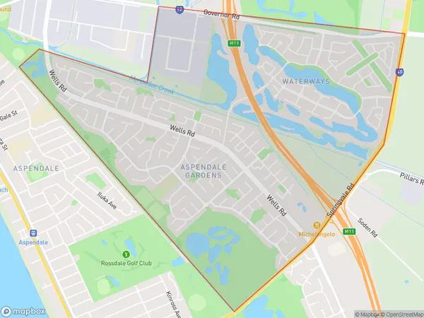
WaterwaysWaterways Suburb Area Map (Polygon)

Waterways Introduction
Melbourne is home to a large number of waterways, including the Yarra River, Port Phillip Bay, and Maribyrnong River. These waterways are important for transportation, recreation, and environmental conservation. The Yarra River is the longest river in Melbourne and is a popular spot for swimming, fishing, and boating. The Port Phillip Bay is a large bay that provides a sheltered harbor for ships and is home to a variety of marine life. The Maribyrnong River is a major tributary of the Yarra River and is known for its scenic beauty and recreational opportunities.State Name
City or Big Region
District or Regional Area
Suburb Name
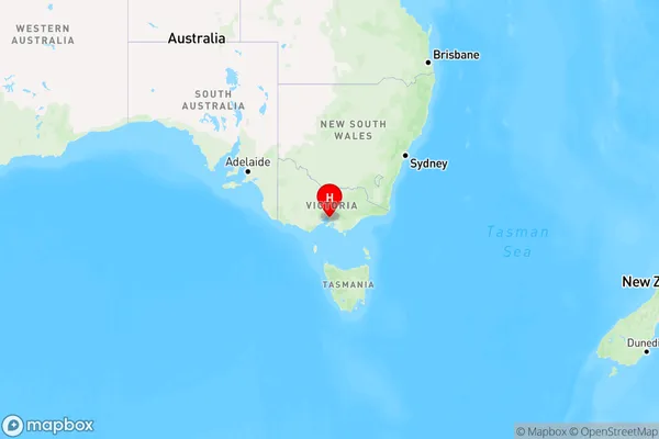
Waterways Region Map

Country
Main Region in AU
R1Coordinates
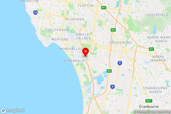
-38.0147634,145.1305169 (latitude/longitude)Waterways Area Map (Street)

Longitude
145.104105Latitude
-38.007024Waterways Elevation
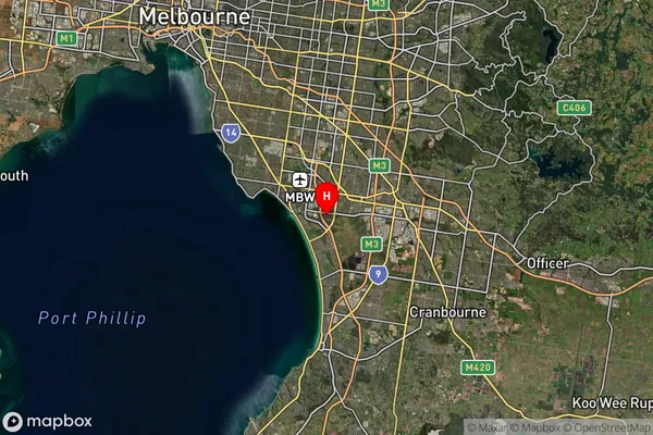
about 3.21 meters height above sea level (Altitude)Waterways Suburb Map (Satellite)

Distances
The distance from Waterways, Melbourne - Inner South, VIC to AU Greater Capital CitiesSA1 Code 2011
20803118319SA1 Code 2016
20803118319SA2 Code
208031183SA3 Code
20803SA4 Code
208RA 2011
1RA 2016
1MMM 2015
1MMM 2019
1Charge Zone
V1LGA Region
KingstonLGA Code
23430Electorate
Isaacs