Parkdale Area, Parkdale Postcode(3195) & Map in Parkdale, Melbourne - Inner South, VIC
Parkdale Area, Parkdale Postcode(3195) & Map in Parkdale, Melbourne - Inner South, VIC, AU, Postcode: 3195
Parkdale, Mordialloc - Parkdale, Kingston, Melbourne - Inner South, Victoria, Australia, 3195
Parkdale Postcode
Area Name
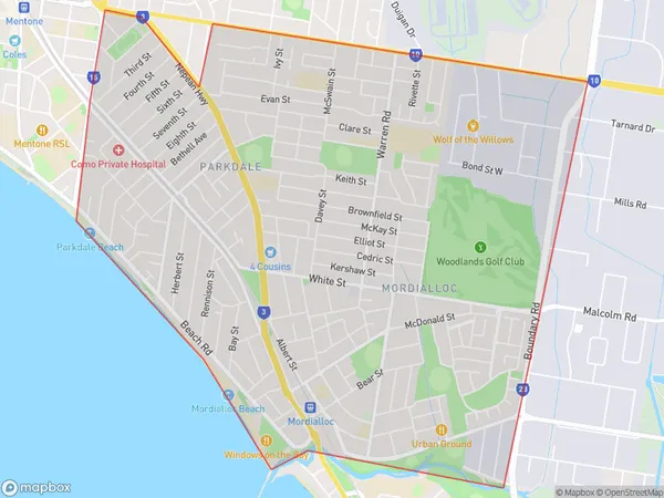
ParkdaleParkdale Suburb Area Map (Polygon)

Parkdale Introduction
Parkdale is a suburb in Melbourne's inner south, located 6 kilometers from the CBD. It is known for its vibrant arts scene and multicultural community. The area has a rich history and was home to many immigrant groups in the past. Today, Parkdale is home to a diverse population and is known for its popular cafes, restaurants, and shopping strips. It is also home to several parks and recreational facilities, including the Parkdale Golf Course and the Parkdale Community Centre.State Name
City or Big Region
District or Regional Area
Suburb Name
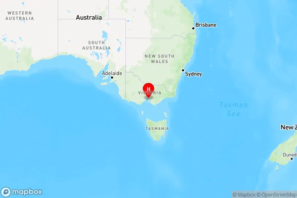
Parkdale Region Map

Country
Main Region in AU
R1Coordinates
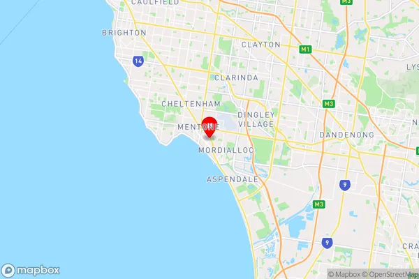
-37.991,145.08 (latitude/longitude)Parkdale Area Map (Street)

Longitude
145.104105Latitude
-38.007024Parkdale Elevation
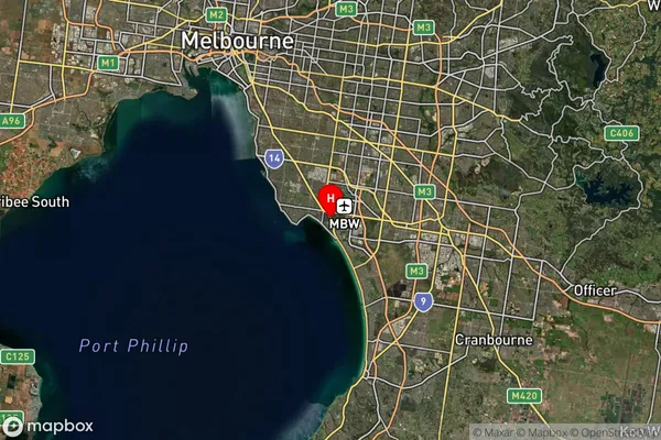
about 3.21 meters height above sea level (Altitude)Parkdale Suburb Map (Satellite)

Distances
The distance from Parkdale, Melbourne - Inner South, VIC to AU Greater Capital CitiesSA1 Code 2011
20803119341SA1 Code 2016
20803119341SA2 Code
208031193SA3 Code
20803SA4 Code
208RA 2011
1RA 2016
1MMM 2015
1MMM 2019
1Charge Zone
V1LGA Region
KingstonLGA Code
23430Electorate
Isaacs