Prahran Area, Prahran Postcode(3181) & Map in Prahran, Melbourne - Inner, VIC
Prahran Area, Prahran Postcode(3181) & Map in Prahran, Melbourne - Inner, VIC, AU, Postcode: 3181
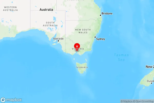
Prahran, Prahran - Windsor, Stonnington - West, Melbourne - Inner, Victoria, Australia, 3181
Prahran Postcode
Area Name
PrahranPrahran Suburb Area Map (Polygon)

Prahran Introduction
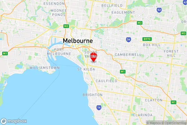
Prahran is a suburb in inner-south Melbourne, Victoria, Australia. It is located 3 km south-east of Melbourne's central business district. It is bordered by Chapel Street, Toorak Road, Commercial Road, and Victoria Street. The suburb has a variety of shops, cafes, and restaurants, as well as a large number of parks and recreational facilities. It is also home to the Prahran Market, which is held on the third Sunday of each month.State Name
City or Big Region
District or Regional Area
Suburb Name
Prahran Region Map

Country
Main Region in AU
R1Coordinates
-37.852,144.998 (latitude/longitude)Prahran Area Map (Street)

Longitude
144.995504Latitude
-37.854683Prahran Elevation
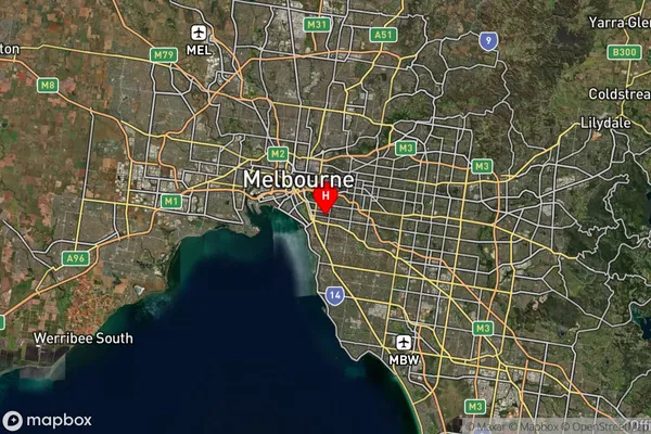
about 22.31 meters height above sea level (Altitude)Prahran Suburb Map (Satellite)

Distances
The distance from Prahran, Melbourne - Inner, VIC to AU Greater Capital CitiesSA1 Code 2011
20606113612SA1 Code 2016
20606113612SA2 Code
206061136SA3 Code
20606SA4 Code
206RA 2011
1RA 2016
1MMM 2015
1MMM 2019
1Charge Zone
V1LGA Region
Port PhillipLGA Code
25900Electorate
Macnamara