Rowville Area, Rowville Postcode(3178) & Map in Rowville, Melbourne - Outer East, VIC
Rowville Area, Rowville Postcode(3178) & Map in Rowville, Melbourne - Outer East, VIC, AU, Postcode: 3178
Rowville, Rowville - Central, Knox, Melbourne - Outer East, Victoria, Australia, 3178
Rowville Postcode
Area Name
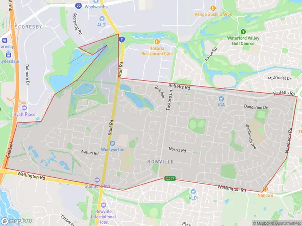
RowvilleRowville Suburb Area Map (Polygon)

Rowville Introduction
Rowville is a suburb in Melbourne's outer east, located 12 kilometers from the city center. It is known for its well-maintained parks, tree-lined streets, and modern housing. The suburb has a variety of shops, restaurants, and recreational facilities, including a swimming pool, tennis courts, and a golf course. Rowville also has excellent transport links, with buses and trains providing easy access to the city.State Name
City or Big Region
District or Regional Area
Suburb Name
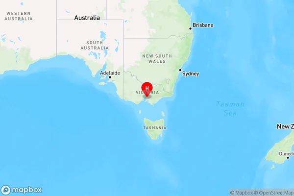
Rowville Region Map

Country
Main Region in AU
R1Coordinates
-37.9210442,145.2424941 (latitude/longitude)Rowville Area Map (Street)

Longitude
145.241589Latitude
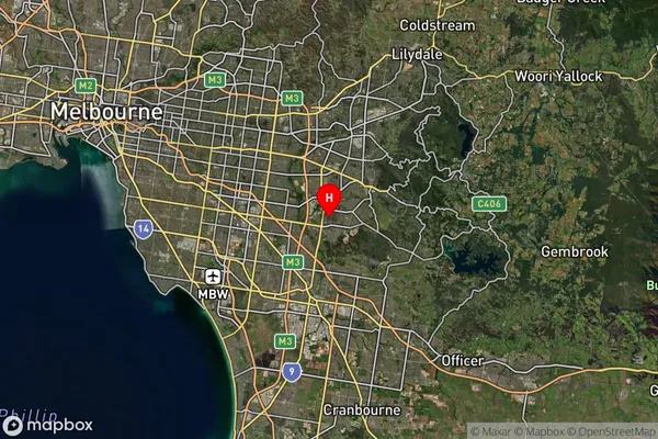
-37.924431Rowville Suburb Map (Satellite)

Distances
The distance from Rowville, Melbourne - Outer East, VIC to AU Greater Capital CitiesSA1 Code 2011
21101125619SA1 Code 2016
21101125619SA2 Code
211011256SA3 Code
21101SA4 Code
211RA 2011
1RA 2016
1MMM 2015
1MMM 2019
1Charge Zone
V1LGA Region
KnoxLGA Code
23670Electorate
Aston