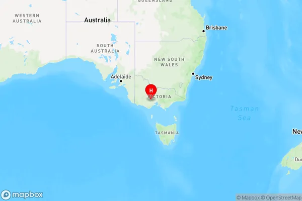
Scotsmans Lead Area, Scotsmans Lead Postcode(3357) & Map in Scotsmans Lead, Ballarat, VIC
Scotsmans Lead Area, Scotsmans Lead Postcode(3357) & Map in Scotsmans Lead, Ballarat, VIC, AU, Postcode: 3357
Scotsmans Lead, Buninyong, Ballarat, Ballarat, Victoria, Australia, 3357
Scotsmans Lead Postcode
Area Name
Scotsmans LeadScotsmans Lead Suburb Area Map (Polygon)

Scotsmans Lead Introduction
Scotsmans Lead is a mine located in Ballarat, Victoria, Australia. It was one of the largest gold mines in the world during the 19th century and is now a major tourist attraction. The mine was opened in 1851 and operated until 1953, producing over 35 million ounces of gold. The mine is located in the historic Goldfields region of Victoria and is a popular destination for gold fossicking and mining tours.State Name
City or Big Region
District or Regional Area
Suburb Name
Scotsmans Lead Region Map

Country
Main Region in AU
R3Coordinates
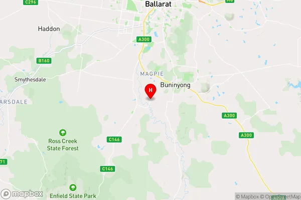
-37.6667,143.85 (latitude/longitude)Scotsmans Lead Area Map (Street)

Longitude
143.883416Latitude
-37.653945Scotsmans Lead Elevation
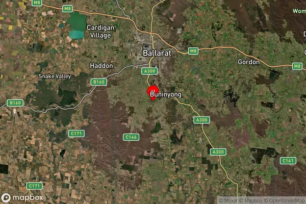
about 447.47 meters height above sea level (Altitude)Scotsmans Lead Suburb Map (Satellite)

Distances
The distance from Scotsmans Lead, Ballarat, VIC to AU Greater Capital CitiesSA1 Code 2011
20101100512SA1 Code 2016
20101100512SA2 Code
201011005SA3 Code
20101SA4 Code
201RA 2011
2RA 2016
2MMM 2015
2MMM 2019
2Charge Zone
V2LGA Region
BallaratLGA Code
20570Electorate
Ballarat