Mitchell Park Area, Mitchell Park Postcode(3355) & Map in Mitchell Park, Ballarat, VIC
Mitchell Park Area, Mitchell Park Postcode(3355) & Map in Mitchell Park, Ballarat, VIC, AU, Postcode: 3355
Mitchell Park, Wendouree - Miners Rest, Ballarat, Ballarat, Victoria, Australia, 3355
Mitchell Park Postcode
Area Name
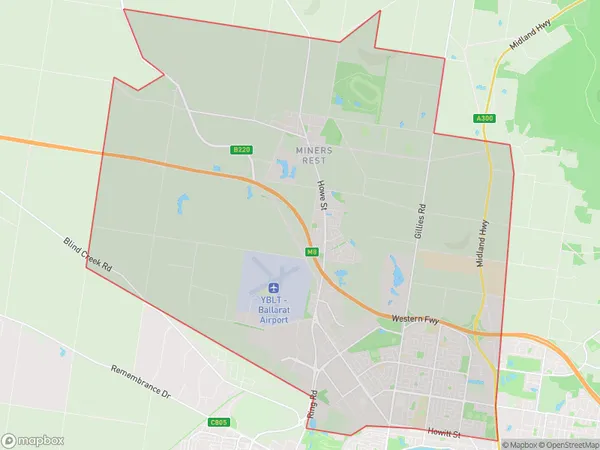
Mitchell ParkMitchell Park Suburb Area Map (Polygon)

Mitchell Park Introduction
Mitchell Park is a large public park located in Ballarat, Victoria, Australia. It is named after Sir John Mitchell, the first Governor of Victoria. The park features a variety of recreational facilities, including an oval cricket ground, a playground, walking tracks, and a picnic area. It is also home to a number of historic buildings, including the Ballarat Botanical Gardens and the Old Government House.State Name
City or Big Region
District or Regional Area
Suburb Name
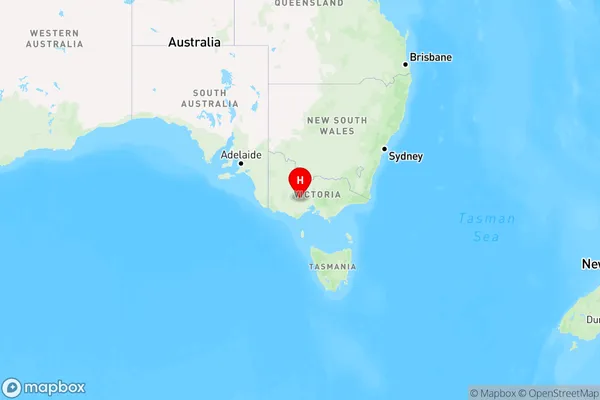
Mitchell Park Region Map

Country
Main Region in AU
R3Coordinates
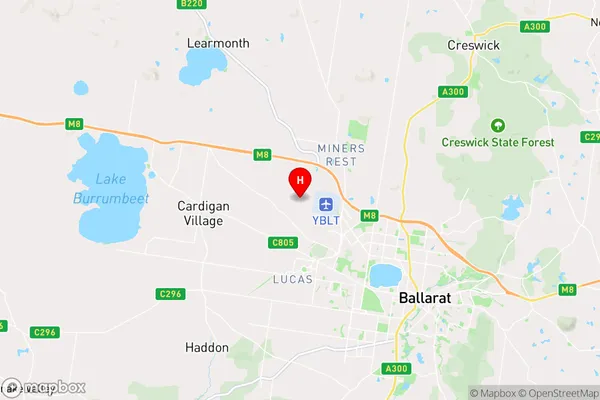
-37.5089391,143.7747951 (latitude/longitude)Mitchell Park Area Map (Street)

Longitude
143.82561Latitude
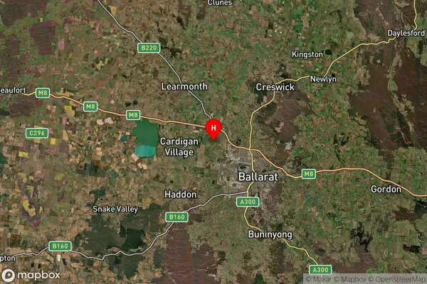
-37.530285Mitchell Park Suburb Map (Satellite)

Distances
The distance from Mitchell Park, Ballarat, VIC to AU Greater Capital CitiesSA1 Code 2011
20101100802SA1 Code 2016
20101100842SA2 Code
201011008SA3 Code
20101SA4 Code
201RA 2011
2RA 2016
2MMM 2015
2MMM 2019
2Charge Zone
V2LGA Region
BallaratLGA Code
20570Electorate
Ballarat