Invermay Park Area, Invermay Park Postcode(3350) & Map in Invermay Park, Ballarat, VIC
Invermay Park Area, Invermay Park Postcode(3350) & Map in Invermay Park, Ballarat, VIC, AU, Postcode: 3350
Invermay Park, Ballarat - North, Ballarat, Ballarat, Victoria, Australia, 3350
Invermay Park Postcode
Area Name
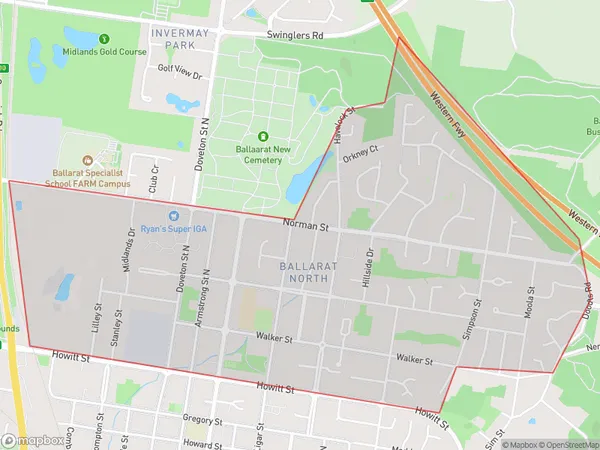
Invermay ParkInvermay Park Suburb Area Map (Polygon)

Invermay Park Introduction
Invermay Park is a historic park located in Ballarat, Victoria, Australia. It is home to a variety of plants and animals and is a popular recreational spot for locals and tourists alike. The park was established in 1860 and is named after the Invermay Creek that flows through it. The park features a variety of walking trails, picnic areas, and playground facilities and is a popular venue for community events such as festivals and markets.State Name
City or Big Region
District or Regional Area
Suburb Name
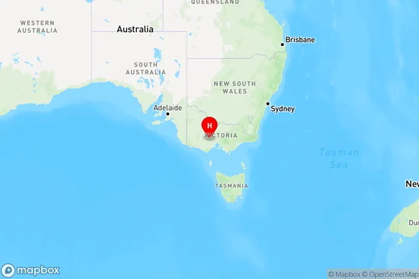
Invermay Park Region Map

Country
Main Region in AU
R3Coordinates
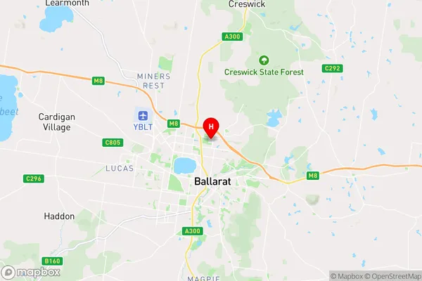
-37.5305636,143.8590384 (latitude/longitude)Invermay Park Area Map (Street)

Longitude
143.864505Latitude
-37.571941Invermay Park Elevation
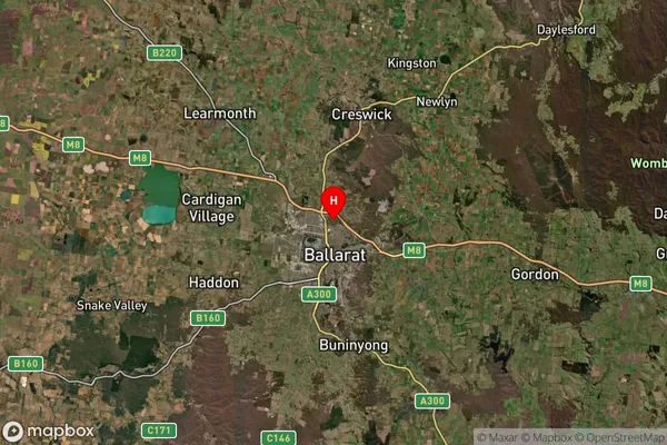
about 452.24 meters height above sea level (Altitude)Invermay Park Suburb Map (Satellite)

Distances
The distance from Invermay Park, Ballarat, VIC to AU Greater Capital CitiesSA1 Code 2011
20101100314SA1 Code 2016
20101100314SA2 Code
201011003SA3 Code
20101SA4 Code
201RA 2011
2RA 2016
2MMM 2015
2MMM 2019
2Charge Zone
V2LGA Region
BallaratLGA Code
20570Electorate
Ballarat