Greenhill Area, Greenhill Postcode(3444) & Map in Greenhill, Bendigo, VIC
Greenhill Area, Greenhill Postcode(3444) & Map in Greenhill, Bendigo, VIC, AU, Postcode: 3444
Greenhill, Kyneton, Heathcote - Castlemaine - Kyneton, Bendigo, Victoria, Australia, 3444
Greenhill Postcode
Area Name
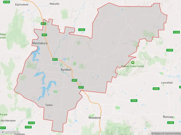
GreenhillGreenhill Suburb Area Map (Polygon)

Greenhill Introduction
Greenhill is a suburb in the City of Greater Bendigo, Victoria, Australia. It is located approximately 5 kilometers north-east of the central business district. Greenhill was named after a property in the area owned by John Greenhill, who was a prominent local businessman. The suburb has a variety of housing styles, including single-family homes, apartments, and townhouses. It is home to a number of parks and recreational facilities, including the Greenhill Reserve, which features a playground, walking tracks, and a cricket oval. Greenhill is also well-connected to the rest of Bendigo, with easy access to the Bendigo railway station and the Bendigo-Echuca Road.State Name
City or Big Region
District or Regional Area
Suburb Name
Greenhill Region Map

Country
Main Region in AU
R3Coordinates
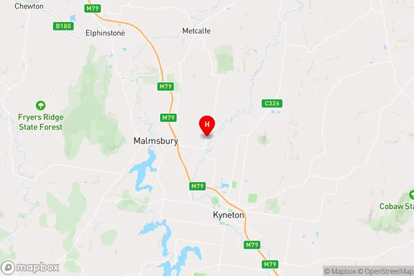
-37.1865671,144.4338719 (latitude/longitude)Greenhill Area Map (Street)

Longitude
144.544716Latitude
-37.171788Greenhill Elevation
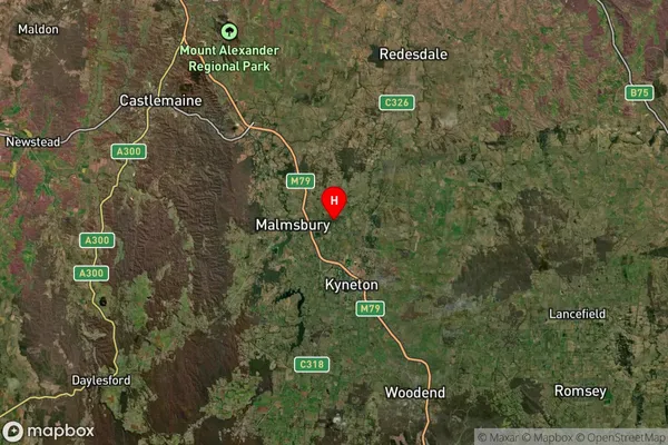
about 539.18 meters height above sea level (Altitude)Greenhill Suburb Map (Satellite)

Distances
The distance from Greenhill, Bendigo, VIC to AU Greater Capital CitiesSA1 Code 2011
20202103017SA1 Code 2016
20202103025SA2 Code
202021030SA3 Code
20202SA4 Code
202RA 2011
2RA 2016
2MMM 2015
5MMM 2019
5Charge Zone
V2LGA Region
Macedon RangesLGA Code
24130Electorate
Bendigo