Bullengarook Area, Bullengarook Postcode(3437) & Map in Bullengarook, Melbourne - North West, VIC
Bullengarook Area, Bullengarook Postcode(3437) & Map in Bullengarook, Melbourne - North West, VIC, AU, Postcode: 3437
Bullengarook, Gisborne, Macedon Ranges, Melbourne - North West, Victoria, Australia, 3437
Bullengarook Postcode
Area Name
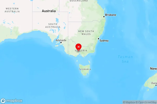
BullengarookBullengarook Suburb Area Map (Polygon)

Bullengarook Introduction
Bullengarook is a suburb in Melbourne's north-west, located 11 kilometers from the CBD. It has a population of around 3,000 people and is known for its historic homes and peaceful atmosphere. The suburb has a primary school, a post office, a community center, and a supermarket. Bullengarook also has several parks and walking trails, including the Bullengarook Wetlands, which is a significant habitat for native birds and animals.State Name
City or Big Region
District or Regional Area
Suburb Name
Bullengarook Region Map

Country
Main Region in AU
R3Coordinates
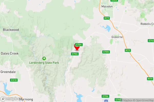
-37.516667,144.483333 (latitude/longitude)Bullengarook Area Map (Street)

Longitude
144.513018Latitude
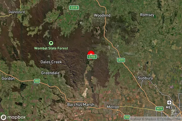
-37.501619Bullengarook Suburb Map (Satellite)

Distances
The distance from Bullengarook, Melbourne - North West, VIC to AU Greater Capital CitiesSA1 Code 2011
21002123205SA1 Code 2016
21002123205SA2 Code
210021232SA3 Code
21002SA4 Code
210RA 2011
2RA 2016
2MMM 2015
4MMM 2019
4Charge Zone
V1LGA Region
Macedon RangesLGA Code
24130Electorate
McEwen