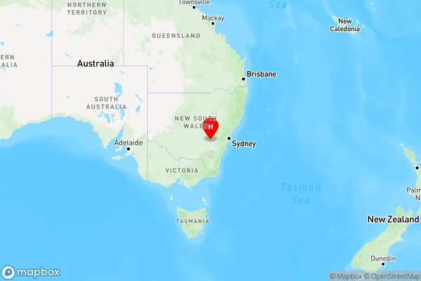
Hovells Creek Area, Hovells Creek Postcode(2794) & Map in Hovells Creek, Capital Region, NSW
Hovells Creek Area, Hovells Creek Postcode(2794) & Map in Hovells Creek, Capital Region, NSW, AU, Postcode: 2794
Hovells Creek, Young Region, Young - Yass, Capital Region, New South Wales, Australia, 2794
Hovells Creek Postcode
Area Name
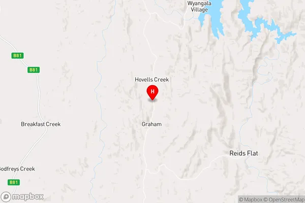
Hovells CreekHovells Creek Suburb Area Map (Polygon)

Hovells Creek Introduction
Hovells Creek is a rural locality in the Macarthur region of New South Wales, Australia. It is located in the Camden Council area and is named after the Hovells Creek that flows through it. The creek is a tributary of the Macarthur River. Hovells Creek has a population of around 1,000 people and is known for its scenic countryside and agricultural pursuits. The area is popular with tourists and has several historic buildings and sites, including the Hovells Creek railway station.State Name
City or Big Region
District or Regional Area
Suburb Name
Hovells Creek Region Map

Country
Main Region in AU
R3Coordinates
-34.0729364,148.8855294 (latitude/longitude)Hovells Creek Area Map (Street)

Longitude
148.664838Latitude
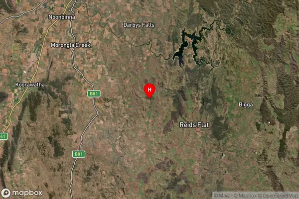
-33.898505Hovells Creek Suburb Map (Satellite)

Distances
The distance from Hovells Creek, Capital Region, NSW to AU Greater Capital CitiesSA1 Code 2011
10101100615SA1 Code 2016
10106154401SA2 Code
101061544SA3 Code
10106SA4 Code
101RA 2011
3RA 2016
3MMM 2015
5MMM 2019
5Charge Zone
N2LGA Region
CowraLGA Code
12350Electorate
Riverina