Mount Lambie Area, Mount Lambie Postcode(2790) & Map in Mount Lambie, Central West, NSW
Mount Lambie Area, Mount Lambie Postcode(2790) & Map in Mount Lambie, Central West, NSW, AU, Postcode: 2790
Mount Lambie, Lithgow Region, Lithgow - Mudgee, Central West, New South Wales, Australia, 2790
Mount Lambie Postcode
Area Name
Mount LambieMount Lambie Suburb Area Map (Polygon)

Mount Lambie Introduction
Mount Lambie is a small town in the Central West region of New South Wales, Australia. It is located in the Macquarie River valley and is surrounded by stunning natural scenery. The town is known for its coal mining industry and has a population of around 2,000 people. Mount Lambie has a rich history and is home to several historic buildings, including the Mount Lambie Mine Museum and the Lambie Homestead. The town also has a variety of recreational facilities, including a golf course and a swimming pool.State Name
City or Big Region
District or Regional Area
Suburb Name
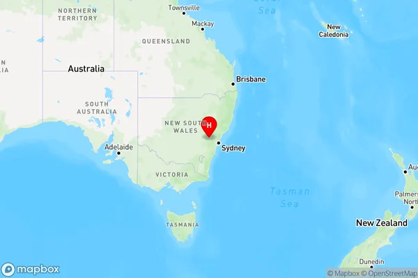
Mount Lambie Region Map
Country
Main Region in AU
R3Coordinates
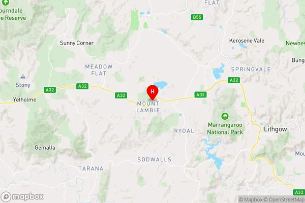
-33.4504651,149.9905404 (latitude/longitude)Mount Lambie Area Map (Street)
Longitude
150.356874Latitude
-33.310653Mount Lambie Elevation
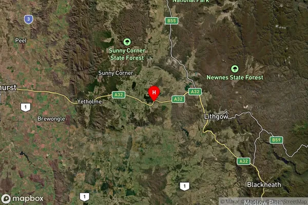
about 1068.46 meters height above sea level (Altitude)Mount Lambie Suburb Map (Satellite)
Distances
The distance from Mount Lambie, Central West, NSW to AU Greater Capital CitiesSA1 Code 2011
10303107115SA1 Code 2016
10303107115SA2 Code
103031071SA3 Code
10303SA4 Code
103RA 2011
2RA 2016
2MMM 2015
5MMM 2019
5Charge Zone
N2LGA Region
LithgowLGA Code
14870Electorate
Calare