Hartley Area, Hartley Postcode(2790) & Map in Hartley, Central West, NSW
Hartley Area, Hartley Postcode(2790) & Map in Hartley, Central West, NSW, AU, Postcode: 2790
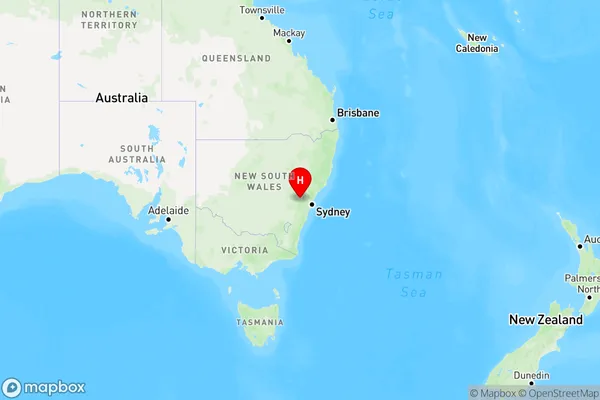
Hartley, Lithgow Region, Lithgow - Mudgee, Central West, New South Wales, Australia, 2790
Hartley Postcode
Area Name
HartleyHartley Suburb Area Map (Polygon)

Hartley Introduction
Hartley is a small town in the Central West region of New South Wales, Australia. It is located on the Macquarie River and is known for its historic railway station and the nearby Hartley Nature Reserve. The town has a population of around 2,000 people and is a popular tourist destination.State Name
City or Big Region
District or Regional Area
Suburb Name
Hartley Region Map
Country
Main Region in AU
R3Coordinates
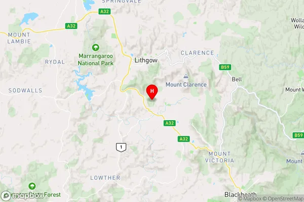
-33.5278876,150.1648241 (latitude/longitude)Hartley Area Map (Street)
Longitude
150.356874Latitude
-33.310653Hartley Elevation
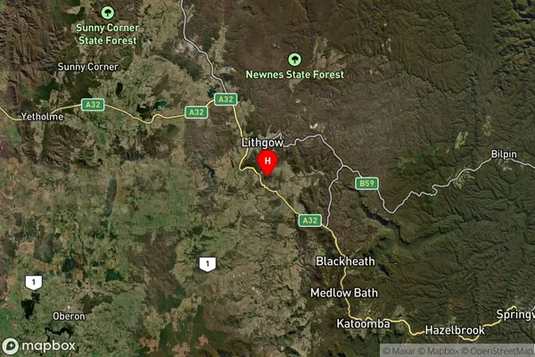
about 1068.46 meters height above sea level (Altitude)Hartley Suburb Map (Satellite)
Distances
The distance from Hartley, Central West, NSW to AU Greater Capital CitiesSA1 Code 2011
10303107112SA1 Code 2016
10303107112SA2 Code
103031071SA3 Code
10303SA4 Code
103RA 2011
2RA 2016
2MMM 2015
4MMM 2019
4Charge Zone
N2LGA Region
LithgowLGA Code
14870Electorate
Calare