Blackmans Flat Area, Blackmans Flat Postcode(2790) & Map in Blackmans Flat, Central West, NSW
Blackmans Flat Area, Blackmans Flat Postcode(2790) & Map in Blackmans Flat, Central West, NSW, AU, Postcode: 2790
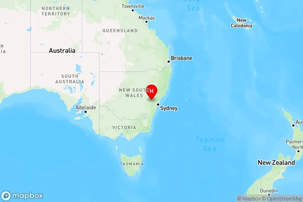
Blackmans Flat, Lithgow Region, Lithgow - Mudgee, Central West, New South Wales, Australia, 2790
Blackmans Flat Postcode
Area Name
Blackmans FlatBlackmans Flat Suburb Area Map (Polygon)

Blackmans Flat Introduction
Blackmans Flat is a locality in the Central West region of New South Wales, Australia. It is located on the Macquarie River, approximately 250 kilometers west of Sydney. The town was named after the blacksmith John Blackman who settled there in the 1830s. The area is known for its agricultural productivity, with wheat, sheep, and cattle being the main crops grown. The town has a population of around 1,000 people and features a primary school, a general store, a pub, and a community hall.State Name
City or Big Region
District or Regional Area
Suburb Name
Blackmans Flat Region Map
Country
Main Region in AU
R3Coordinates
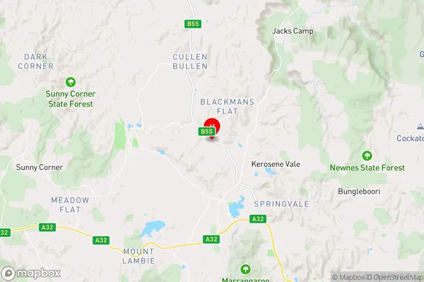
-33.3629186,150.0559407 (latitude/longitude)Blackmans Flat Area Map (Street)
Longitude
150.356874Latitude
-33.310653Blackmans Flat Elevation
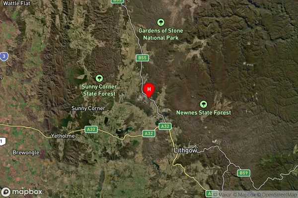
about 1068.46 meters height above sea level (Altitude)Blackmans Flat Suburb Map (Satellite)
Distances
The distance from Blackmans Flat, Central West, NSW to AU Greater Capital CitiesSA1 Code 2011
10303107114SA1 Code 2016
10303107114SA2 Code
103031071SA3 Code
10303SA4 Code
103RA 2011
2RA 2016
2MMM 2015
5MMM 2019
5Charge Zone
N2LGA Region
LithgowLGA Code
14870Electorate
Calare