Bullaburra Area, Bullaburra Postcode(2784) & Map in Bullaburra, Sydney - Outer West and Blue Mountains, NSW
Bullaburra Area, Bullaburra Postcode(2784) & Map in Bullaburra, Sydney - Outer West and Blue Mountains, NSW, AU, Postcode: 2784
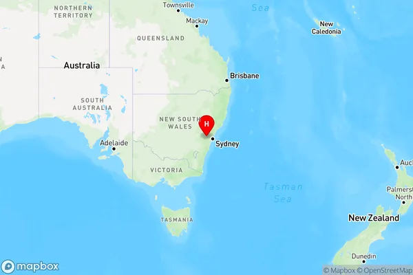
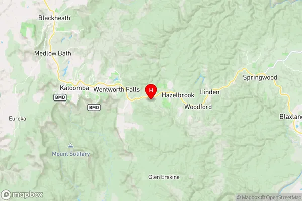
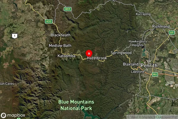
Bullaburra, Lawson - Hazelbrook - Linden, Blue Mountains, Sydney - Outer West and Blue Mountains, New South Wales, Australia, 2784
Bullaburra Postcode
Area Name
BullaburraBullaburra Suburb Area Map (Polygon)

Bullaburra Introduction
Bullaburra is a suburb in the City of Blue Mountains, located in the state of New South Wales, Australia. It is situated in the Greater Western Sydney region and is known for its natural beauty, including the Blue Mountains National Park. The suburb has a population of around 4,000 people and is home to a variety of residential properties, including houses, apartments, and townhouses. Bullaburra is also home to a number of local businesses, including a supermarket, a pharmacy, and a variety of cafes and restaurants.State Name
City or Big Region
District or Regional Area
Suburb Name
Bullaburra Region Map
Country
Main Region in AU
R3Coordinates
-33.7279709,150.4167407 (latitude/longitude)Bullaburra Area Map (Street)
Longitude
150.407048Latitude
-33.729916Bullaburra Elevation
about 753.79 meters height above sea level (Altitude)Bullaburra Suburb Map (Satellite)
Distances
The distance from Bullaburra, Sydney - Outer West and Blue Mountains, NSW to AU Greater Capital CitiesSA1 Code 2011
12401145305SA1 Code 2016
12401145305SA2 Code
124011453SA3 Code
12401SA4 Code
124RA 2011
1RA 2016
1MMM 2015
1MMM 2019
1Charge Zone
N1LGA Region
Blue MountainsLGA Code
10900Electorate
Macquarie