Lawson Area, Lawson Postcode(2783) & Map in Lawson, Sydney - Outer West and Blue Mountains, NSW
Lawson Area, Lawson Postcode(2783) & Map in Lawson, Sydney - Outer West and Blue Mountains, NSW, AU, Postcode: 2783
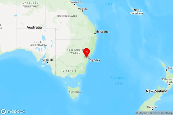
Lawson, Lawson - Hazelbrook - Linden, Blue Mountains, Sydney - Outer West and Blue Mountains, New South Wales, Australia, 2783
Lawson Postcode
Area Name
LawsonLawson Suburb Area Map (Polygon)

Lawson Introduction
Lawson is a suburb located in the local government area of the City of Blue Mountains, New South Wales, Australia. It is situated 66 kilometers west of Sydney's central business district and is part of the Greater Western Sydney region. Lawson is known for its scenic surroundings, including the Blue Mountains National Park, which is a World Heritage Site. The suburb has a population of around 11,000 people and is home to a variety of amenities, including a shopping center, a hospital, and several parks.State Name
City or Big Region
District or Regional Area
Suburb Name
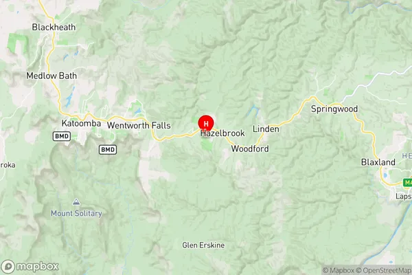
Lawson Region Map
Country
Main Region in AU
R3Coordinates
-33.7256417,150.4370338 (latitude/longitude)Lawson Area Map (Street)
Longitude
150.431839Latitude
-33.725566Lawson Elevation
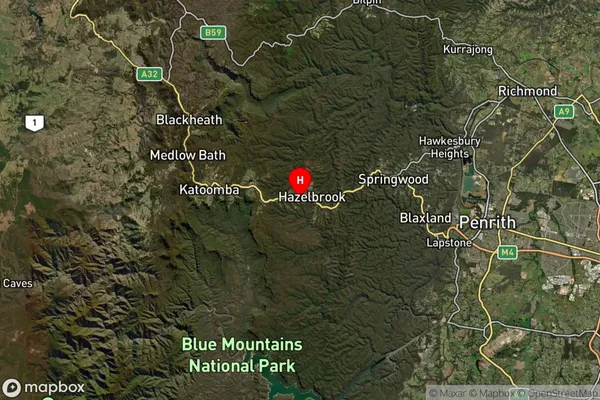
about 708.32 meters height above sea level (Altitude)Lawson Suburb Map (Satellite)
Distances
The distance from Lawson, Sydney - Outer West and Blue Mountains, NSW to AU Greater Capital CitiesSA1 Code 2011
12401145318SA1 Code 2016
12401145318SA2 Code
124011453SA3 Code
12401SA4 Code
124RA 2011
1RA 2016
1MMM 2015
1MMM 2019
1Charge Zone
N1LGA Region
Blue MountainsLGA Code
10900Electorate
Macquarie