Hazelbrook Area, Hazelbrook Postcode(2779) & Map in Hazelbrook, Sydney - Outer West and Blue Mountains, NSW
Hazelbrook Area, Hazelbrook Postcode(2779) & Map in Hazelbrook, Sydney - Outer West and Blue Mountains, NSW, AU, Postcode: 2779
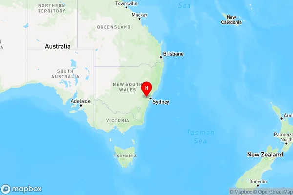
Hazelbrook, Lawson - Hazelbrook - Linden, Blue Mountains, Sydney - Outer West and Blue Mountains, New South Wales, Australia, 2779
Hazelbrook Postcode
Area Name
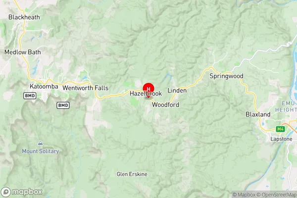
HazelbrookHazelbrook Suburb Area Map (Polygon)

Hazelbrook Introduction
Hazelbrook is a suburb in the Blue Mountains region of New South Wales, Australia. It is located in the City of Blue Mountains and is part of the Greater Western Sydney region. The suburb is known for its scenic beauty, with many hiking trails and waterfalls. It is also home to the Hazelbrook railway station, which is on the Main Western line.State Name
City or Big Region
District or Regional Area
Suburb Name
Hazelbrook Region Map
Country
Main Region in AU
R3Coordinates
-33.7284065,150.4573297 (latitude/longitude)Hazelbrook Area Map (Street)
Longitude
150.45933Latitude
-33.7237Hazelbrook Elevation
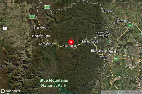
about 645.58 meters height above sea level (Altitude)Hazelbrook Suburb Map (Satellite)
Distances
The distance from Hazelbrook, Sydney - Outer West and Blue Mountains, NSW to AU Greater Capital CitiesSA1 Code 2011
12401145309SA1 Code 2016
12401145309SA2 Code
124011453SA3 Code
12401SA4 Code
124RA 2011
1RA 2016
1MMM 2015
1MMM 2019
1Charge Zone
N1LGA Region
Blue MountainsLGA Code
10900Electorate
Macquarie