Woodford Area, Woodford Postcode(2778) & Map in Woodford, Sydney - Outer West and Blue Mountains, NSW
Woodford Area, Woodford Postcode(2778) & Map in Woodford, Sydney - Outer West and Blue Mountains, NSW, AU, Postcode: 2778
Woodford, Lawson - Hazelbrook - Linden, Blue Mountains, Sydney - Outer West and Blue Mountains, New South Wales, Australia, 2778
Woodford Postcode
Area Name
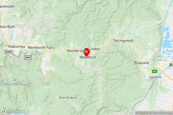
WoodfordWoodford Suburb Area Map (Polygon)

Woodford Introduction
Woodford is a suburb in the local government area of the City of Blue Mountains, located in New South Wales, Australia. It is situated 68 kilometers west of Sydney's central business district and is part of the Greater Western Sydney region. The suburb is named after the Woodford River, which flows through it. Woodford is known for its natural beauty, with numerous parks and reserves, including the Woodford Reserve and the Blue Mountains National Park. It is also home to a variety of cultural institutions, including the Woodford Folk Festival and the Woodford Academy of Arts.State Name
City or Big Region
District or Regional Area
Suburb Name
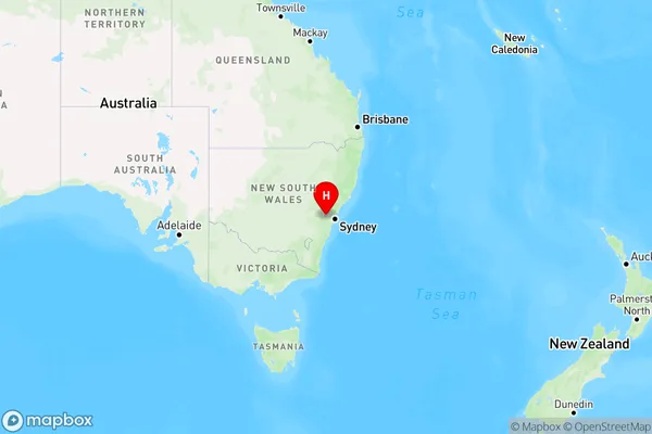
Woodford Region Map
Country
Main Region in AU
R3Coordinates
-33.735556,150.478333 (latitude/longitude)Woodford Area Map (Street)
Longitude
150.484549Latitude
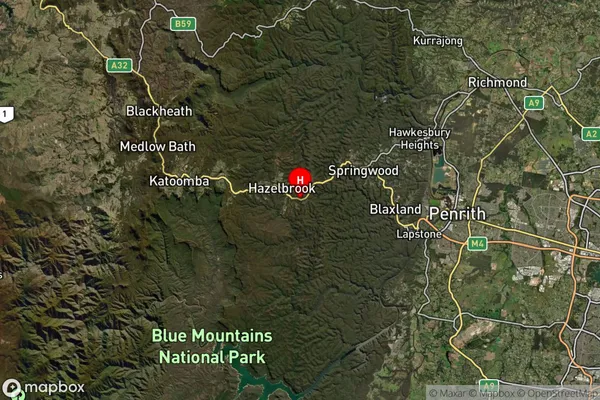
-33.728545Woodford Suburb Map (Satellite)
Distances
The distance from Woodford, Sydney - Outer West and Blue Mountains, NSW to AU Greater Capital CitiesSA1 Code 2011
12401145311SA1 Code 2016
12401145311SA2 Code
124011453SA3 Code
12401SA4 Code
124RA 2011
1RA 2016
1MMM 2015
1MMM 2019
1Charge Zone
N1LGA Region
Blue MountainsLGA Code
10900Electorate
Macquarie