Linden Area, Linden Postcode(2778) & Map in Linden, Sydney - Outer West and Blue Mountains, NSW
Linden Area, Linden Postcode(2778) & Map in Linden, Sydney - Outer West and Blue Mountains, NSW, AU, Postcode: 2778
Linden, Lawson - Hazelbrook - Linden, Blue Mountains, Sydney - Outer West and Blue Mountains, New South Wales, Australia, 2778
Linden Postcode
Area Name
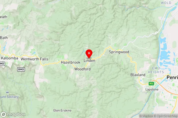
LindenLinden Suburb Area Map (Polygon)

Linden Introduction
Linden is a suburb in the local government area of the City of Canada Bay, located in Sydney, New South Wales, Australia. It is situated 20 kilometres west of the Sydney central business district and is part of the Greater Western Sydney region. The suburb is named after the Linden tree, which is native to Australia and is known for its beautiful flowers and shade.State Name
City or Big Region
District or Regional Area
Suburb Name
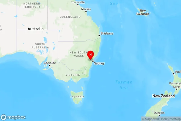
Linden Region Map
Country
Main Region in AU
R3Coordinates
-33.715556,150.496111 (latitude/longitude)Linden Area Map (Street)
Longitude
150.484549Latitude
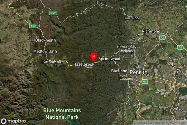
-33.728545Linden Suburb Map (Satellite)
Distances
The distance from Linden, Sydney - Outer West and Blue Mountains, NSW to AU Greater Capital CitiesSA1 Code 2011
12401145322SA1 Code 2016
12401145322SA2 Code
124011453SA3 Code
12401SA4 Code
124RA 2011
1RA 2016
1MMM 2015
1MMM 2019
1Charge Zone
N1LGA Region
Blue MountainsLGA Code
10900Electorate
Macquarie