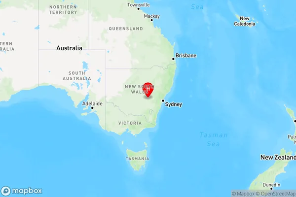
Nyrang Creek Area, Nyrang Creek Postcode(2804) & Map in Nyrang Creek, Central West, NSW
Nyrang Creek Area, Nyrang Creek Postcode(2804) & Map in Nyrang Creek, Central West, NSW, AU, Postcode: 2804
Nyrang Creek, Cowra Region, Lachlan Valley, Central West, New South Wales, Australia, 2804
Nyrang Creek Postcode
Area Name
Nyrang CreekNyrang Creek Suburb Area Map (Polygon)

Nyrang Creek Introduction
Nyrang Creek is a watercourse located in the Central West region of New South Wales, Australia. It is a tributary of the Macquarie River and flows through the towns of Nyngan, Warren, and Forbes. The creek has a length of approximately 160 kilometers and a catchment area of around 2,500 square kilometers. It is known for its scenic beauty, with lush green forests and waterfalls along its course. The creek is also home to a variety of wildlife, including fish, birds, and mammals.State Name
City or Big Region
District or Regional Area
Suburb Name
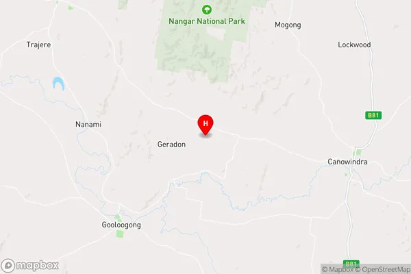
Nyrang Creek Region Map

Country
Main Region in AU
R3Coordinates
-33.5422385,148.5184987 (latitude/longitude)Nyrang Creek Area Map (Street)

Longitude
148.633991Latitude
-33.539564Nyrang Creek Elevation
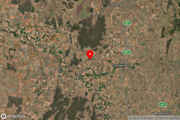
about 330.53 meters height above sea level (Altitude)Nyrang Creek Suburb Map (Satellite)

Distances
The distance from Nyrang Creek, Central West, NSW to AU Greater Capital CitiesSA1 Code 2011
10302106407SA1 Code 2016
10302106407SA2 Code
103021064SA3 Code
10302SA4 Code
103RA 2011
3RA 2016
3MMM 2015
5MMM 2019
5Charge Zone
N2LGA Region
CowraLGA Code
12350Electorate
Riverina