Merrygoen Area, Merrygoen Postcode(2831) & Map in Merrygoen, Far West and Orana, NSW
Merrygoen Area, Merrygoen Postcode(2831) & Map in Merrygoen, Far West and Orana, NSW, AU, Postcode: 2831
Merrygoen, Coonabarabran, Dubbo, Far West and Orana, New South Wales, Australia, 2831
Merrygoen Postcode
Area Name
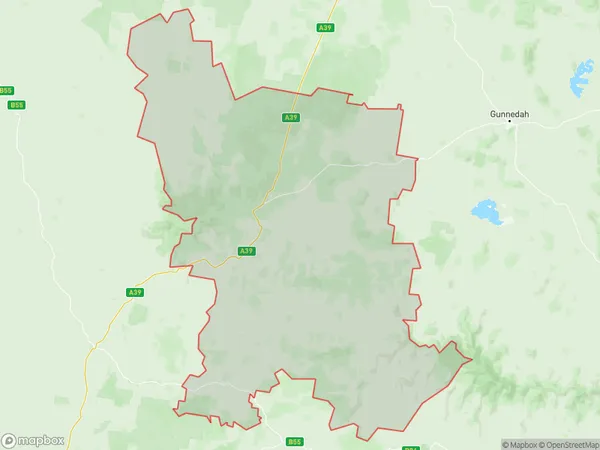
MerrygoenMerrygoen Suburb Area Map (Polygon)
Merrygoen Introduction
Merrygoen, Far West and Orana is a locality in the Far West region of New South Wales, Australia. It is located on the Cobb Highway and is situated between the towns of Cowra and Broken Hill. The area is known for its agricultural production, particularly wheat and sheep farming. The population of the locality was 1,019 at the 2011 census.State Name
City or Big Region
District or Regional Area
Suburb Name
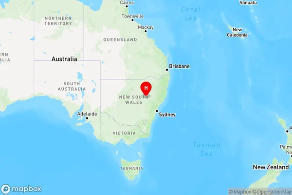
Merrygoen Region Map
Country
Main Region in AU
R3Coordinates
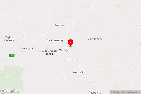
-31.8185646,149.2459674 (latitude/longitude)Merrygoen Area Map (Street)
Longitude
146.615174Latitude
-31.927892Merrygoen Elevation
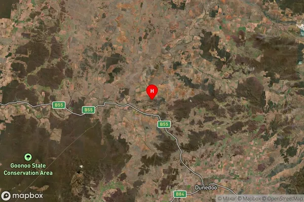
about 282.30 meters height above sea level (Altitude)Merrygoen Suburb Map (Satellite)
Distances
The distance from Merrygoen, Far West and Orana, NSW to AU Greater Capital CitiesSA1 Code 2011
10503109922SA1 Code 2016
10503109922SA2 Code
105031099SA3 Code
10503SA4 Code
105RA 2011
3RA 2016
3MMM 2015
5MMM 2019
5Charge Zone
N2LGA Region
BoganLGA Code
10950Electorate
Parkes