Canadian Lead Area, Canadian Lead Postcode(2850) & Map in Canadian Lead, Central West, NSW
Canadian Lead Area, Canadian Lead Postcode(2850) & Map in Canadian Lead, Central West, NSW, AU, Postcode: 2850
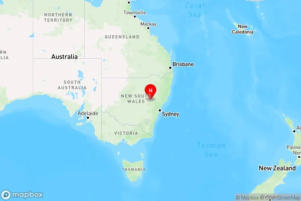
Canadian Lead, Mudgee Region - West, Lithgow - Mudgee, Central West, New South Wales, Australia, 2850
Canadian Lead Postcode
Area Name
Canadian LeadCanadian Lead Suburb Area Map (Polygon)

Canadian Lead Introduction
The Canadian Lead is a mine located in Central West, New South Wales, Australia. It was established in 1886 and was one of the largest lead and zinc mines in the world. The mine closed in 1992, but the site has been preserved as a heritage park. The Canadian Lead is a significant part of Australia's mining history and has been designated a National Heritage Place.State Name
City or Big Region
District or Regional Area
Suburb Name
Canadian Lead Region Map

Country
Main Region in AU
R3Coordinates
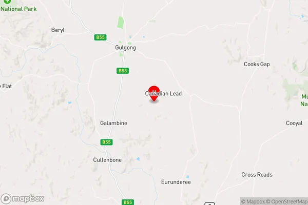
-32.425124,149.5717988 (latitude/longitude)Canadian Lead Area Map (Street)

Longitude
149.602925Latitude
-32.685033Canadian Lead Elevation
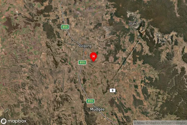
about 605.45 meters height above sea level (Altitude)Canadian Lead Suburb Map (Satellite)

Distances
The distance from Canadian Lead, Central West, NSW to AU Greater Capital CitiesSA1 Code 2011
10303107417SA1 Code 2016
10303107417SA2 Code
103031074SA3 Code
10303SA4 Code
103RA 2011
3RA 2016
3MMM 2015
5MMM 2019
5Charge Zone
N2LGA Region
Mid-Western RegionalLGA Code
15270Electorate
Calare