Parkesborough Area, Parkesborough Postcode(2870) & Map in Parkesborough, Central West, NSW
Parkesborough Area, Parkesborough Postcode(2870) & Map in Parkesborough, Central West, NSW, AU, Postcode: 2870
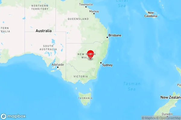
Parkesborough, Parkes (NSW), Lachlan Valley, Central West, New South Wales, Australia, 2870
Parkesborough Postcode
Area Name
ParkesboroughParkesborough Suburb Area Map (Polygon)

Parkesborough Introduction
Parkesborough is a small town in the Central West region of New South Wales, Australia. It is located in the Macarthur Shire and is known for its historic buildings and beautiful countryside. The town has a population of around 10,000 people and is a popular tourist destination. It is also home to the Parkes Shire Council and the Parkes Observatory, which is a major astronomical research center.State Name
City or Big Region
District or Regional Area
Suburb Name
Parkesborough Region Map
Country
Main Region in AU
R3Coordinates
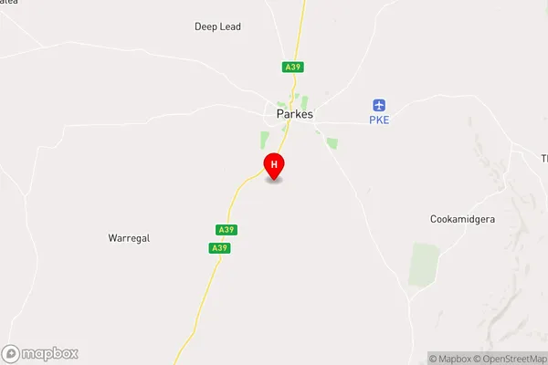
-33.18,148.16 (latitude/longitude)Parkesborough Area Map (Street)
Longitude
148.16819Latitude
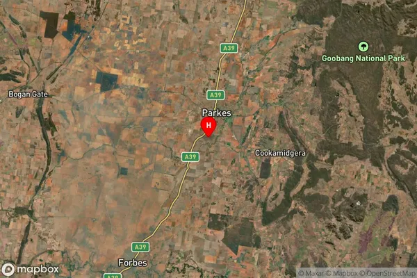
-33.035496Parkesborough Suburb Map (Satellite)
Distances
The distance from Parkesborough, Central West, NSW to AU Greater Capital CitiesSA1 Code 2011
10302106705SA1 Code 2016
10302106705SA2 Code
103021067SA3 Code
10302SA4 Code
103RA 2011
3RA 2016
3MMM 2015
4MMM 2019
4Charge Zone
N2LGA Region
ParkesLGA Code
16200Electorate
Riverina