Goonumbla Area, Goonumbla Postcode(2870) & Map in Goonumbla, Central West, NSW
Goonumbla Area, Goonumbla Postcode(2870) & Map in Goonumbla, Central West, NSW, AU, Postcode: 2870
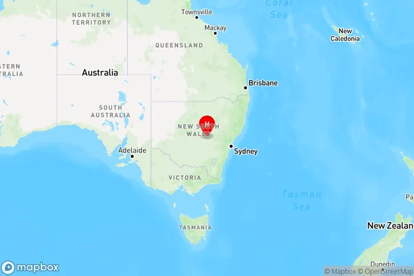
Goonumbla, Parkes Region, Lachlan Valley, Central West, New South Wales, Australia, 2870
Goonumbla Postcode
Area Name
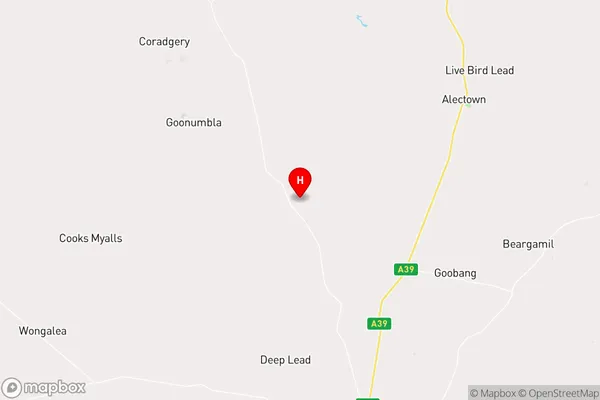
GoonumblaGoonumbla Suburb Area Map (Polygon)

Goonumbla Introduction
Goonumbla is a small town in the Central West region of New South Wales, Australia. It is located on the Macquarie River and is known for its historic railway station and nearby scenic attractions. The town has a population of around 1,000 people and is a popular stopover for tourists traveling through the region.State Name
City or Big Region
District or Regional Area
Suburb Name
Goonumbla Region Map
Country
Main Region in AU
R3Coordinates
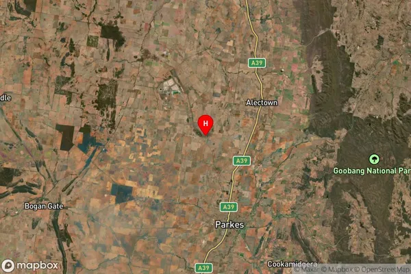
-32.9896978,148.1277286 (latitude/longitude)Goonumbla Area Map (Street)
Longitude
148.16819Latitude
-33.035496Goonumbla Suburb Map (Satellite)
Distances
The distance from Goonumbla, Central West, NSW to AU Greater Capital CitiesSA1 Code 2011
10302106810SA1 Code 2016
10302106810SA2 Code
103021068SA3 Code
10302SA4 Code
103RA 2011
3RA 2016
3MMM 2015
5MMM 2019
5Charge Zone
N2LGA Region
ParkesLGA Code
16200Electorate
Riverina