Gladstone Park Area, Gladstone Park Postcode(3043) & Map in Gladstone Park, Melbourne - North West, VIC
Gladstone Park Area, Gladstone Park Postcode(3043) & Map in Gladstone Park, Melbourne - North West, VIC, AU, Postcode: 3043
Gladstone Park, Gladstone Park - Westmeadows, Tullamarine - Broadmeadows, Melbourne - North West, Victoria, Australia, 3043
Gladstone Park Postcode
Area Name
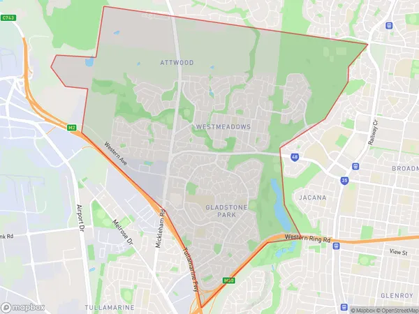
Gladstone ParkGladstone Park Suburb Area Map (Polygon)

Gladstone Park Introduction
Gladstone Park is a suburb located in the north-west of Melbourne, Victoria, Australia. It is named after the 4th Prime Minister of the United Kingdom, William Ewart Gladstone. The suburb is known for its large park, which is a popular recreational area for locals. It also has a variety of shops, restaurants, and cafes, as well as a community center and a hospital. Gladstone Park is well-connected to the rest of Melbourne via public transportation, with several bus routes and a train station located within the suburb.State Name
City or Big Region
District or Regional Area
Suburb Name
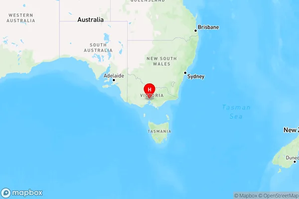
Gladstone Park Region Map

Country
Main Region in AU
R1Coordinates
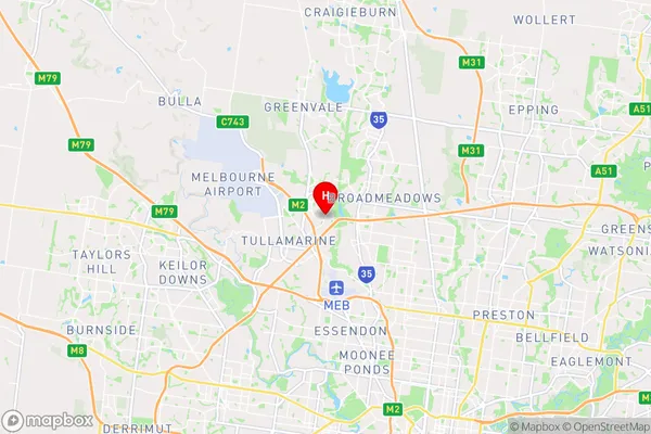
-37.6926696,144.8951801 (latitude/longitude)Gladstone Park Area Map (Street)

Longitude
144.888368Latitude
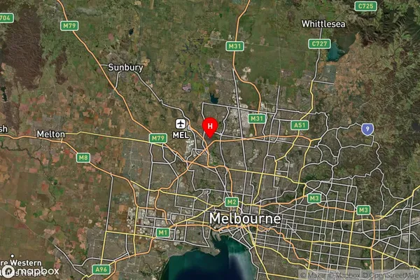
-37.691916Gladstone Park Suburb Map (Satellite)

Distances
The distance from Gladstone Park, Melbourne - North West, VIC to AU Greater Capital CitiesSA1 Code 2011
21005124520SA1 Code 2016
21005124520SA2 Code
210051245SA3 Code
21005SA4 Code
210RA 2011
1RA 2016
1MMM 2015
1MMM 2019
1Charge Zone
V1LGA Region
Moonee ValleyLGA Code
25060Electorate
Maribyrnong