Spotswood Area, Spotswood Postcode(3015) & Map in Spotswood, Melbourne - West, VIC
Spotswood Area, Spotswood Postcode(3015) & Map in Spotswood, Melbourne - West, VIC, AU, Postcode: 3015
Spotswood, Newport, Hobsons Bay, Melbourne - West, Victoria, Australia, 3015
Spotswood Postcode
Area Name
SpotswoodSpotswood Suburb Area Map (Polygon)

Spotswood Introduction
Spotswood is a suburb in Melbourne's west, located 6 km from the CBD. It has a variety of shops, cafes, and restaurants and is home to a large number of immigrants. The suburb has a rich history and was named after a former Governor of Victoria. It is also home to the Spotswood Station, which is on the Frankston line.State Name
City or Big Region
District or Regional Area
Suburb Name
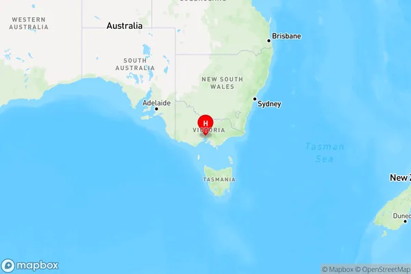
Spotswood Region Map

Country
Main Region in AU
R1Coordinates
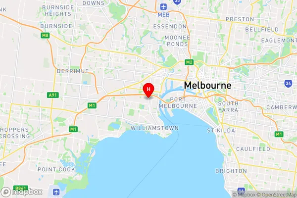
-37.8292454,144.8813515 (latitude/longitude)Spotswood Area Map (Street)

Longitude
144.880556Latitude
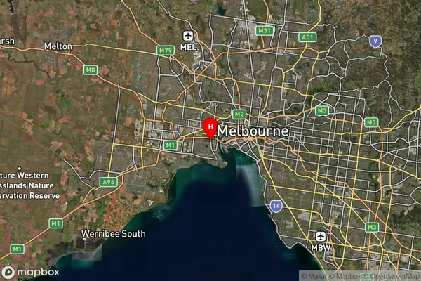
-37.838242Spotswood Suburb Map (Satellite)

Distances
The distance from Spotswood, Melbourne - West, VIC to AU Greater Capital CitiesSA1 Code 2011
21302134442SA1 Code 2016
21302134442SA2 Code
213021344SA3 Code
21302SA4 Code
213RA 2011
1RA 2016
1MMM 2015
1MMM 2019
1Charge Zone
V1LGA Region
MaribyrnongLGA Code
24330Electorate
Gellibrand