Tunstall Square Po Area, Tunstall Square Po Postcode(3109) & Map in Tunstall Square Po, Melbourne - Inner East, VIC
Tunstall Square Po Area, Tunstall Square Po Postcode(3109) & Map in Tunstall Square Po, Melbourne - Inner East, VIC, AU, Postcode: 3109
Tunstall Square Po, Doncaster East (South), Manningham - West, Melbourne - Inner East, Victoria, Australia, 3109
Tunstall Square Po Postcode
Area Name
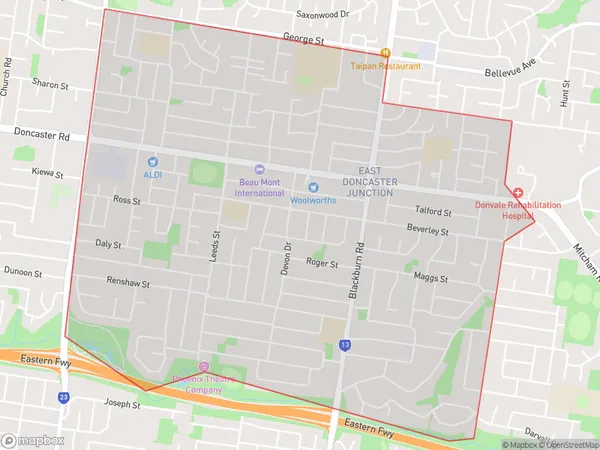
Tunstall Square PoTunstall Square Po Suburb Area Map (Polygon)

Tunstall Square Po Introduction
Tunstall Square Po is a historic post office in Melbourne's inner east, designed by John Buckeridge and built in 1889-90. It is a fine example of Victorian Gothic architecture and is listed on the Victorian Heritage Register. The post office is now home to a community center and art gallery.State Name
City or Big Region
District or Regional Area
Suburb Name
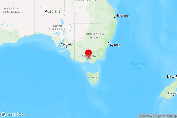
Tunstall Square Po Region Map

Country
Main Region in AU
R1Coordinates
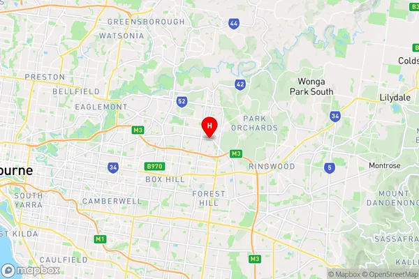
-37.7904,145.17 (latitude/longitude)Tunstall Square Po Area Map (Street)

Longitude
145.161649Latitude
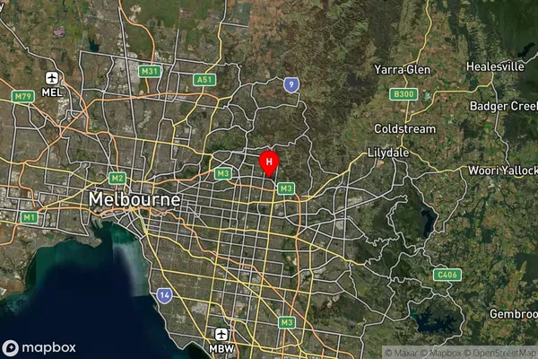
-37.784786Tunstall Square Po Suburb Map (Satellite)

Distances
The distance from Tunstall Square Po, Melbourne - Inner East, VIC to AU Greater Capital CitiesSA1 Code 2011
20702115818SA1 Code 2016
20702142503SA2 Code
207021425SA3 Code
20702SA4 Code
207RA 2011
1RA 2016
1MMM 2015
1MMM 2019
1Charge Zone
V1LGA Region
ManninghamLGA Code
24210Electorate
Menzies