Macleod Area, Macleod Postcode(3085) & Map in Macleod, Melbourne - North East, VIC
Macleod Area, Macleod Postcode(3085) & Map in Macleod, Melbourne - North East, VIC, AU, Postcode: 3085
Macleod, Kingsbury, Darebin - North, Melbourne - North East, Victoria, Australia, 3085
Macleod Postcode
Area Name
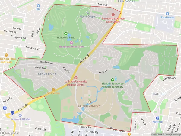
MacleodMacleod Suburb Area Map (Polygon)

Macleod Introduction
Macleod is a suburb in Melbourne's north-east, located 11 kilometers from the city center. It is well-known for its large shopping center, which includes a variety of stores, restaurants, and entertainment options. The suburb also has a number of parks and recreational facilities, including a golf course and a swimming pool. Macleod is a popular residential area, with a mix of single-family homes and apartments. It is also home to a number of schools and educational institutions, including Monash University and RMIT University.State Name
City or Big Region
District or Regional Area
Suburb Name
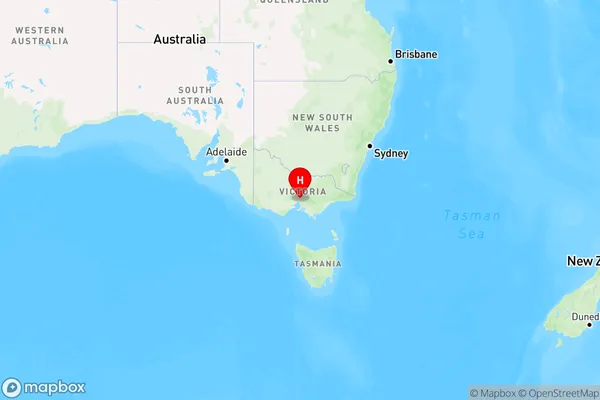
Macleod Region Map

Country
Main Region in AU
R1Coordinates
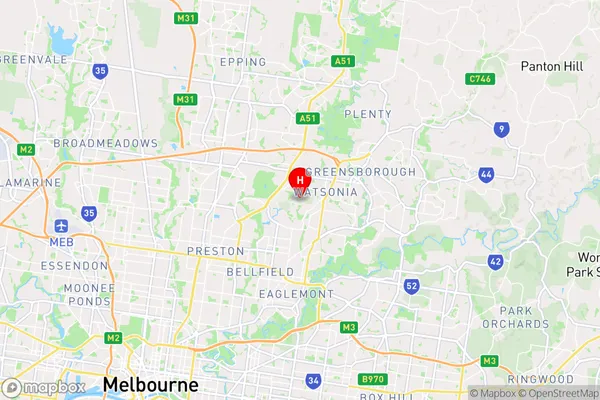
-37.714,145.066 (latitude/longitude)Macleod Area Map (Street)

Longitude
145.06988Latitude
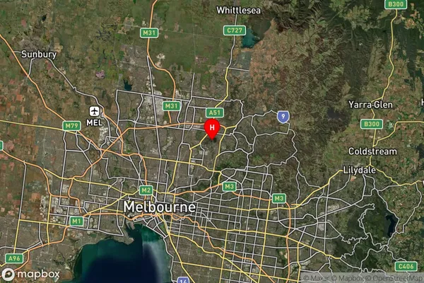
-37.724398Macleod Suburb Map (Satellite)

Distances
The distance from Macleod, Melbourne - North East, VIC to AU Greater Capital CitiesSA1 Code 2011
20902120513SA1 Code 2016
20902120527SA2 Code
209021205SA3 Code
20902SA4 Code
209RA 2011
1RA 2016
1MMM 2015
1MMM 2019
1Charge Zone
V1LGA Region
BanyuleLGA Code
20660Electorate
Jagajaga