Lalor Area, Lalor Postcode(3075) & Map in Lalor, Melbourne - North East, VIC
Lalor Area, Lalor Postcode(3075) & Map in Lalor, Melbourne - North East, VIC, AU, Postcode: 3075
Lalor, Lalor, Whittlesea - Wallan, Melbourne - North East, Victoria, Australia, 3075
Lalor Postcode
Area Name
LalorLalor Suburb Area Map (Polygon)

Lalor Introduction
Lalor is a suburb in Melbourne's north-east, 10 kilometers from the city center. It has a rich history and was once home to a significant Aboriginal community. The Lalor railway station was opened in 1889 and is now part of the Melbourne Metro network. The suburb has several parks, including Lalor Park and Lalor Reserve, and is home to a variety of shops and restaurants. It is also known for its well-preserved Victorian-era buildings and its close proximity to the Maribyrnong River.State Name
City or Big Region
District or Regional Area
Suburb Name
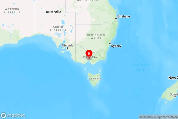
Lalor Region Map

Country
Main Region in AU
R1Coordinates
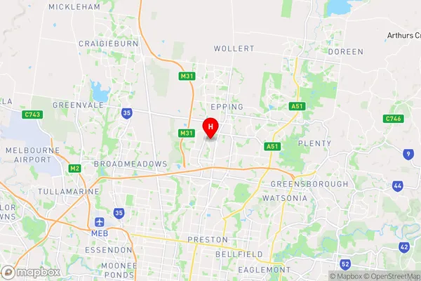
-37.6650543,145.0107588 (latitude/longitude)Lalor Area Map (Street)

Longitude
145.002679Latitude
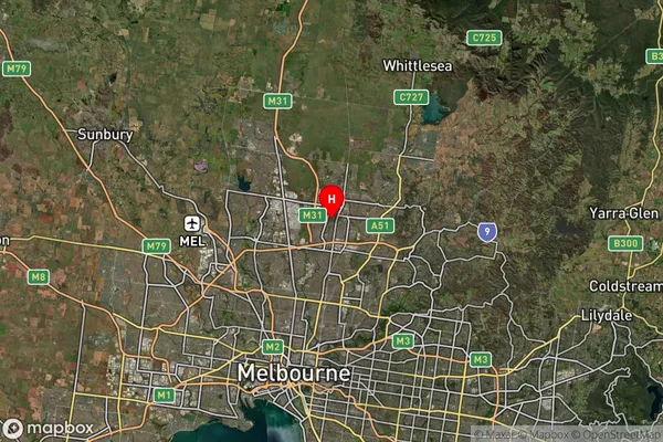
-37.66607Lalor Suburb Map (Satellite)

Distances
The distance from Lalor, Melbourne - North East, VIC to AU Greater Capital CitiesSA1 Code 2011
20904121939SA1 Code 2016
20904121939SA2 Code
209041219SA3 Code
20904SA4 Code
209RA 2011
1RA 2016
1MMM 2015
1MMM 2019
1Charge Zone
V1LGA Region
DarebinLGA Code
21890Electorate
Scullin