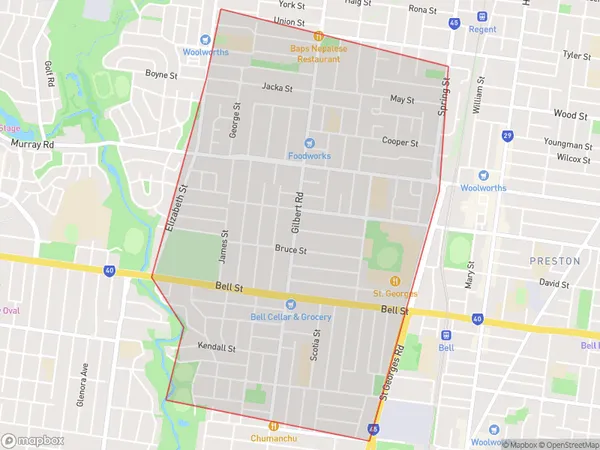
Gilberton Area, Gilberton Postcode(3072) & Map in Gilberton, Melbourne - North East, VIC
Gilberton Area, Gilberton Postcode(3072) & Map in Gilberton, Melbourne - North East, VIC, AU, Postcode: 3072
Gilberton, Preston - West, Darebin - North, Melbourne - North East, Victoria, Australia, 3072
Gilberton Postcode
Area Name
GilbertonGilberton Suburb Area Map (Polygon)

Gilberton Introduction
Gilberton is a suburb in Melbourne's north-east, 10 kilometers from the city center. It has a variety of shops, parks, and recreational facilities and is well-connected to public transportation. The suburb has a diverse population and is known for its affordable housing and quiet streets.State Name
City or Big Region
District or Regional Area
Suburb Name
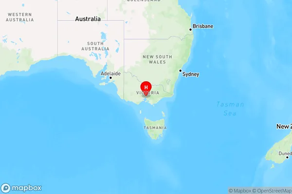
Gilberton Region Map

Country
Main Region in AU
R1Coordinates
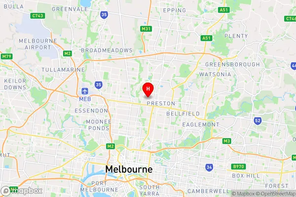
-37.7363,144.99 (latitude/longitude)Gilberton Area Map (Street)

Longitude
145.005702Latitude
-37.74247Gilberton Elevation
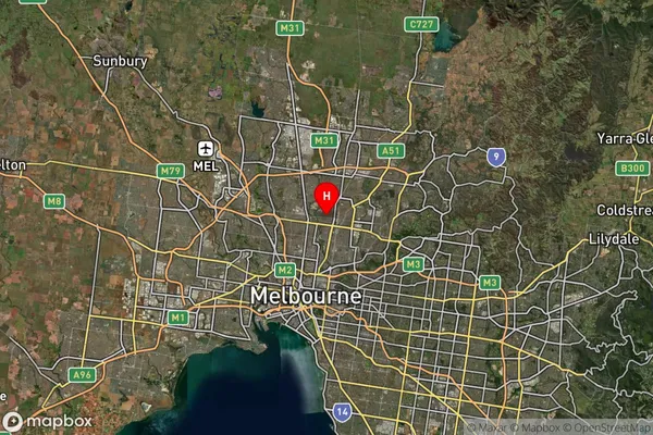
about 67.72 meters height above sea level (Altitude)Gilberton Suburb Map (Satellite)

Distances
The distance from Gilberton, Melbourne - North East, VIC to AU Greater Capital CitiesSA1 Code 2011
20902120660SA1 Code 2016
20902142918SA2 Code
209021429SA3 Code
20902SA4 Code
209RA 2011
1RA 2016
1MMM 2015
1MMM 2019
1Charge Zone
V1LGA Region
DarebinLGA Code
21890Electorate
Cooper