South Coogee Area, South Coogee Postcode(2034) & Map in South Coogee, Sydney - Eastern Suburbs, NSW
South Coogee Area, South Coogee Postcode(2034) & Map in South Coogee, Sydney - Eastern Suburbs, NSW, AU, Postcode: 2034
South Coogee, Coogee - Clovelly, Eastern Suburbs - South, Sydney - Eastern Suburbs, New South Wales, Australia, 2034
South Coogee Postcode
Area Name
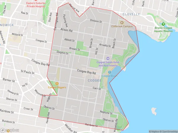
South CoogeeSouth Coogee Suburb Area Map (Polygon)
South Coogee Introduction
South Coogee is a suburb in Sydney's Eastern Suburbs, known for its stunning beaches, vibrant culture, and relaxed atmosphere. It is located 8 kilometers southeast of Sydney's central business district and is bordered by the suburbs of Coogee, Randwick, and Maroubra. South Coogee has a rich history and is home to several historic buildings, including the South Coogee Bay Hotel and the Coogee Pavilion. The area is popular with surfers and beachgoers and is known for its beautiful beaches, including South Coogee Beach and Clovelly Beach.State Name
City or Big Region
District or Regional Area
Suburb Name
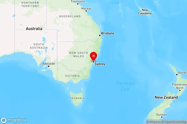
South Coogee Region Map
Country
Main Region in AU
R1Coordinates
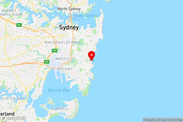
-33.933,151.259 (latitude/longitude)South Coogee Area Map (Street)
Longitude
151.252171Latitude
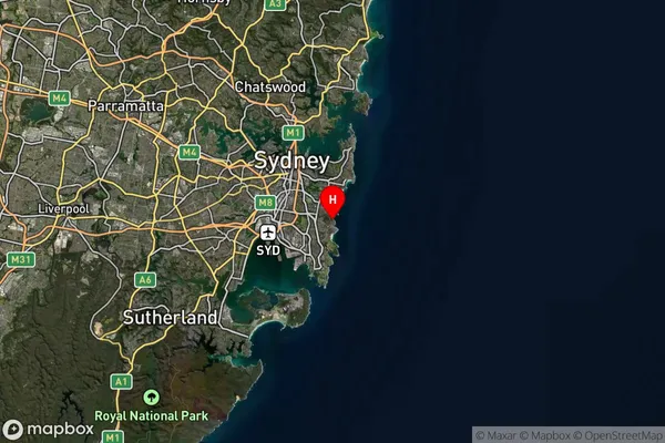
-33.929096South Coogee Suburb Map (Satellite)
Distances
The distance from South Coogee, Sydney - Eastern Suburbs, NSW to AU Greater Capital CitiesSA1 Code 2011
11802134852SA1 Code 2016
11802134852SA2 Code
118021348SA3 Code
11802SA4 Code
118RA 2011
1RA 2016
1MMM 2015
1MMM 2019
1Charge Zone
N1LGA Region
RandwickLGA Code
16550Electorate
Barton