St Pauls Area, St Pauls Postcode(2031) & Map in St Pauls, Sydney - Eastern Suburbs, NSW
St Pauls Area, St Pauls Postcode(2031) & Map in St Pauls, Sydney - Eastern Suburbs, NSW, AU, Postcode: 2031
St Pauls, Randwick - South, Eastern Suburbs - South, Sydney - Eastern Suburbs, New South Wales, Australia, 2031
St Pauls Postcode
Area Name
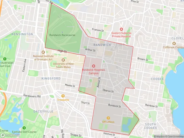
St PaulsSt Pauls Suburb Area Map (Polygon)

St Pauls Introduction
St Paul's is a heritage-listed Anglican church located in the Eastern Suburbs of Sydney, New South Wales, Australia. It was designed by Edmund Blacket and built in 1828-1832. The church is known for its Gothic Revival architecture and its prominent position on a hill overlooking the harbor. It is a popular tourist destination and has been used as a filming location for several movies and TV shows.State Name
City or Big Region
District or Regional Area
Suburb Name
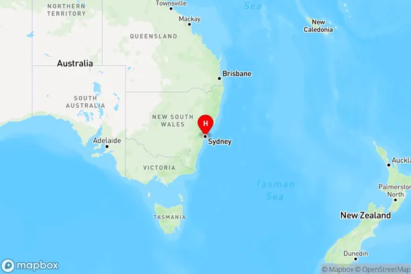
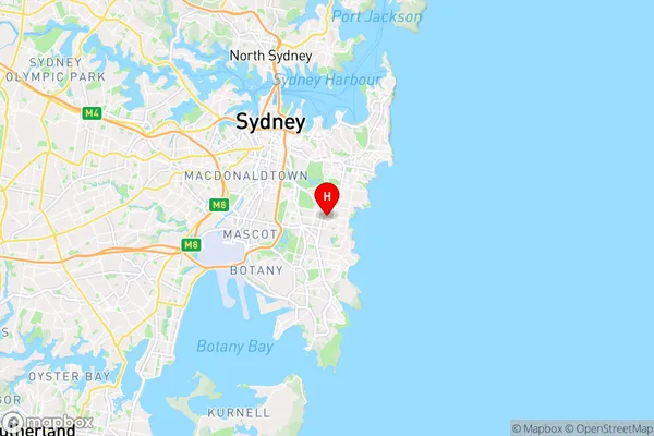
St Pauls Region Map

Country
Main Region in AU
R1Coordinates
-33.9203899,151.2438854 (latitude/longitude)St Pauls Area Map (Street)

Longitude
151.239167Latitude
-33.914832St Pauls Elevation
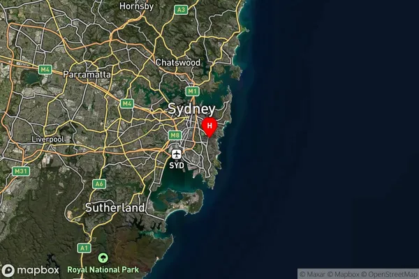
about 66.27 meters height above sea level (Altitude)St Pauls Suburb Map (Satellite)

Distances
The distance from St Pauls, Sydney - Eastern Suburbs, NSW to AU Greater Capital CitiesSA1 Code 2011
11802135266SA1 Code 2016
11802157016SA2 Code
118021570SA3 Code
11802SA4 Code
118RA 2011
1RA 2016
1MMM 2015
1MMM 2019
1Charge Zone
N1LGA Region
RandwickLGA Code
16550Electorate
Wentworth