Clovelly West Area, Clovelly West Postcode(2031) & Map in Clovelly West, Sydney - Eastern Suburbs, NSW
Clovelly West Area, Clovelly West Postcode(2031) & Map in Clovelly West, Sydney - Eastern Suburbs, NSW, AU, Postcode: 2031
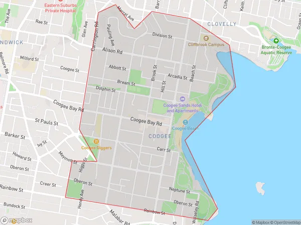
Clovelly West, Coogee - Clovelly, Eastern Suburbs - South, Sydney - Eastern Suburbs, New South Wales, Australia, 2031
Clovelly West Postcode
Area Name
Clovelly WestClovelly West Suburb Area Map (Polygon)
Clovelly West Introduction
Clovelly West is a suburb in Sydney's Eastern Suburbs, known for its beautiful beaches, lush parks, and vibrant community. It is located between Bondi Beach and Coogee Beach and is home to a diverse population. The area has a rich history and is popular with families, young professionals, and surfers. Clovelly West is well-connected to the city via public transportation and has a variety of shops, cafes, and restaurants.State Name
City or Big Region
District or Regional Area
Suburb Name
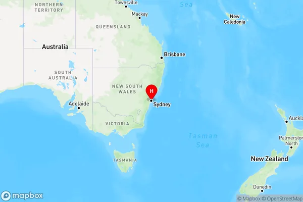
Clovelly West Region Map
Country
Main Region in AU
R1Coordinates
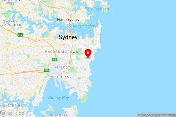
-33.911484,151.254827 (latitude/longitude)Clovelly West Area Map (Street)
Longitude
151.239167Latitude
-33.914832Clovelly West Elevation
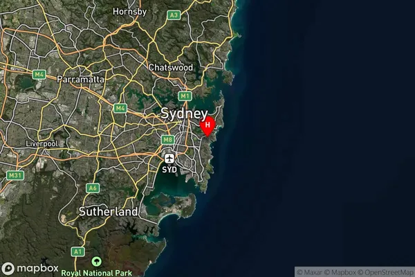
about 66.27 meters height above sea level (Altitude)Clovelly West Suburb Map (Satellite)
Distances
The distance from Clovelly West, Sydney - Eastern Suburbs, NSW to AU Greater Capital CitiesSA1 Code 2011
11802134816SA1 Code 2016
11802134816SA2 Code
118021348SA3 Code
11802SA4 Code
118RA 2011
1RA 2016
1MMM 2015
1MMM 2019
1Charge Zone
N1LGA Region
RandwickLGA Code
16550Electorate
Wentworth