Queens Park Area, Queens Park Postcode(2022) & Map in Queens Park, Sydney - Eastern Suburbs, NSW
Queens Park Area, Queens Park Postcode(2022) & Map in Queens Park, Sydney - Eastern Suburbs, NSW, AU, Postcode: 2022
Queens Park, Bondi Junction - Waverly, Eastern Suburbs - North, Sydney - Eastern Suburbs, New South Wales, Australia, 2022
Queens Park Postcode
Area Name
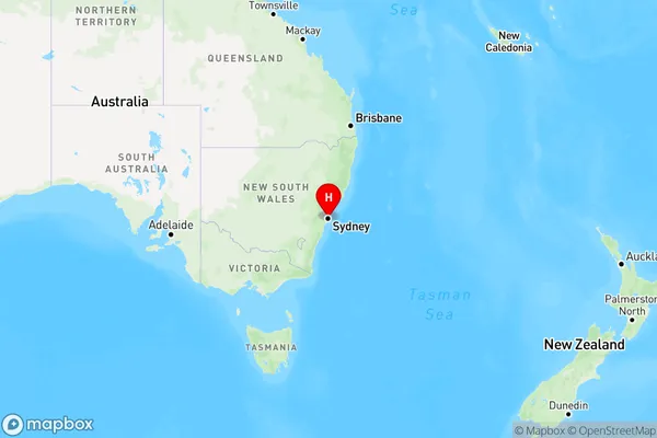
Queens ParkQueens Park Suburb Area Map (Polygon)

Queens Park Introduction
Queens Park is a parkland area in Sydney's eastern suburbs, known for its lush gardens, sports facilities, and peaceful atmosphere. It is a popular destination for locals and tourists, with a variety of activities to enjoy, including walking, cycling, picnicking, and playing sports. The park also features a historic bandstand and a memorial to Sir Henry Parkes, a prominent Australian politician and inventor.State Name
City or Big Region
District or Regional Area
Suburb Name
Queens Park Region Map

Country
Main Region in AU
R1Coordinates
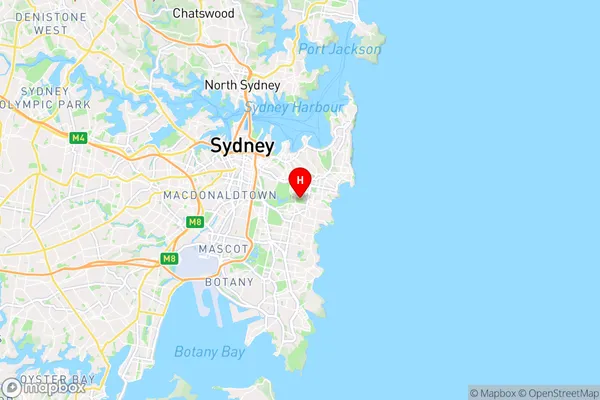
-33.901,151.248 (latitude/longitude)Queens Park Area Map (Street)

Longitude
151.245049Latitude
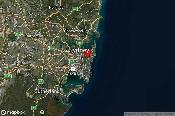
-33.896401Queens Park Suburb Map (Satellite)

Distances
The distance from Queens Park, Sydney - Eastern Suburbs, NSW to AU Greater Capital CitiesSA1 Code 2011
11801134136SA1 Code 2016
11801134136SA2 Code
118011341SA3 Code
11801SA4 Code
118RA 2011
1RA 2016
1MMM 2015
1MMM 2019
1Charge Zone
N1LGA Region
WaverleyLGA Code
18050Electorate
Wentworth