Bondi Junction Plaza Area, Bondi Junction Plaza Postcode(2022) & Map in Bondi Junction Plaza, Sydney - Eastern Suburbs, NSW
Bondi Junction Plaza Area, Bondi Junction Plaza Postcode(2022) & Map in Bondi Junction Plaza, Sydney - Eastern Suburbs, NSW, AU, Postcode: 2022
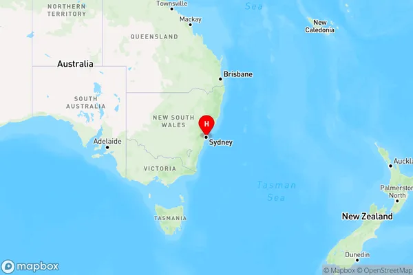
Bondi Junction Plaza, Bondi Junction - Waverly, Eastern Suburbs - North, Sydney - Eastern Suburbs, New South Wales, Australia, 2022
Bondi Junction Plaza Postcode
Area Name
Bondi Junction PlazaBondi Junction Plaza Suburb Area Map (Polygon)

Bondi Junction Plaza Introduction
Bondi Junction Plaza is a large shopping center in Sydney's eastern suburbs, located at 188-192 Oxford Street. It is home to over 200 stores, including major retailers such as Coles, Woolworths, and David Jones. The plaza also features a variety of food outlets, a cinema complex, and a rooftop park with stunning views of the city skyline.State Name
City or Big Region
District or Regional Area
Suburb Name
Bondi Junction Plaza Region Map

Country
Main Region in AU
R1Coordinates
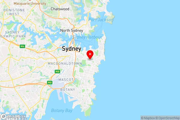
-33.8915695,151.2505012 (latitude/longitude)Bondi Junction Plaza Area Map (Street)

Longitude
151.245049Latitude
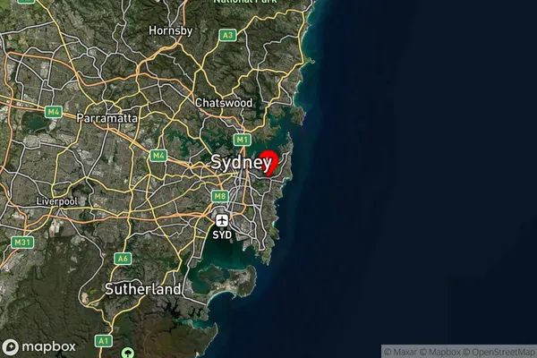
-33.896401Bondi Junction Plaza Suburb Map (Satellite)

Distances
The distance from Bondi Junction Plaza, Sydney - Eastern Suburbs, NSW to AU Greater Capital CitiesSA1 Code 2011
11801134114SA1 Code 2016
11801134114SA2 Code
118011341SA3 Code
11801SA4 Code
118RA 2011
1RA 2016
1MMM 2015
1MMM 2019
1Charge Zone
N1LGA Region
WaverleyLGA Code
18050Electorate
Wentworth